Rõngu
| Rõngu | |
|---|---|
| Small borough | |
|
Rõngu church | |
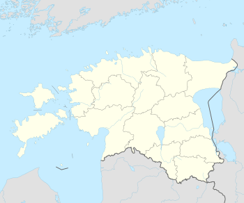 Rõngu Location in Estonia | |
| Coordinates: 58°08′29″N 26°14′50″E / 58.14139°N 26.24722°ECoordinates: 58°08′29″N 26°14′50″E / 58.14139°N 26.24722°E | |
| Country | Estonia |
| County | Tartu County |
| Municipality |
|

Rõngu is a small borough (alevik) in Tartu County, southern Estonia. It is the administrative centre of Rõngu Parish.
Sights
Rõngu castle ruins
The present-day ruins are the visible remains of a so-called "vassal castle", i.e. a smaller fortress not designed for major military operations, established in the early 14th century. Built in the south-western part of the Bishopric of Dorpat, it probably served to control the bishopric's border there. The castle was centred on a rectangular courtyard which was surrounded by wings. The gate, the remains of which are most prominently visible today, was strengthened by a gatehouse that also housed a chapel on its second floor. During the Livonian War, the castle was pillaged by Russian troops. After 1583, when the area came under the influence of the Polish–Lithuanian Commonwealth as the Duchy of Livonia, it was still in use, this time by local Jesuits. The Jesuits however blew up the castle amid the events that led to the Truce of Altmark and the subsequent incorporation of the area into Swedish Livonia.[1]
Rõngu church
Although the church dates from the late 14th century, only fragments of the original building have survived as the church was devastated during both the Livonian War and the Great Northern War. The church seen today is a heavily rebuilt Neo-Gothic edifice which received its look during the late 19th century.[1]
Gallery
 Rõngu castle ruins
 Rõngu castle park
 War of Independence memorial
References
| Small boroughs |  | |
|---|---|---|
| Villages | ||