El Qantara, Egypt
| El Qantara | |
|---|---|
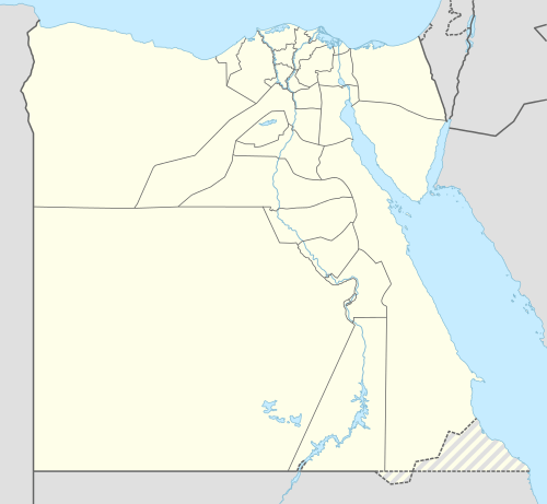 El Qantara Location in Egypt | |
| Coordinates: 30°51′N 32°19′E / 30.85°N 32.31°E | |
| Country |
|
| Governorate | Ismailia |
| Time zone | EST (UTC+2) |
El Qantara (30.85° N 32.31° E) is a northeastern Egyptian city on the eastern side of the Suez Canal located in the Egyptian governorate of Ismailia, 160 kilometres (99 mi) northeast of Cairo and 50 kilometres (31 mi) south of Port Said.
There is a high-level fixed road bridge in El Qantara, the Mubarak Peace Bridge over the canal. The Arabic al qantara means "the bridge".
History
During World War I, Kantara, as it was referred to by the Allied troops, was the site of Headquarters No. 3 Section, Canal Defences and Headquarters Eastern Force during the latter stages of the Defence of the Suez Canal Campaign and the Sinai Campaign of 1916. It became the main supply depot for all British, Australian and New Zealand operations in the Sinai from 1916 until final demobilization in 1919. A massive distribution warehouse and hospital centre was located in the town that supplied and supported the numerous units in the area.
Beginning in January 1916 a new railway was constructed from the town to Romani and eastwards through the Sinai to El Arish and Rafa on the border with the Ottoman Empire.
Outside of town there is located a Commonwealth War Graves Commission Cemetery and Memorial. The cemetery was begun in February 1916 and was in use until late 1920. After the war, the cemetery was doubled in size to accommodate graves brought from other cemeteries and desert battlefields, notably those from Qatia, Rumani, Magdhaba, El Arish and Rafa. The cemetery contains 1,562 Commonwealth burials of the First World War and 110 from the Second World War. There are also 341 war graves of other nationalities in the cemetery. The Kantara Memorial bears the names of 16 New Zealand World War I servicemen who died in action at Rafa and Rumani and have no known grave. In 1961, 283 World War I Indian serviceman who were interred in the now inaccessible Kantara Indian Cemetery were commemorated with panels bearing the names of the dead affixed to the wall behind the Stone of Remembrance to form the Kantara Indian Cemetery Memorial.
The town's importance as a hospital centre was renewed during World War II when General Hospital No. 1 was located there from July 1941 to December 1945 and General Hospitals Nos. 41 and 92 were located there for differing periods. No. 8 Polish General Hospital was constructed adjoining the war cemetery.
During the 1967 Six Day War Israel captured the town. Egypt recaptured the town at the start of the 1973 Yom Kippur War during The Crossing and held the town until the ceasefire was negotiated. Egypt regained formal control over the town in 1974.
Coordinates: 30°51′N 32°19′E / 30.85°N 32.31°E