Purua
| Purua | |
|---|---|
 Purua | |
| Coordinates: 35°37′56″S 174°06′26″E / 35.63222°S 174.10722°ECoordinates: 35°37′56″S 174°06′26″E / 35.63222°S 174.10722°E | |
| Country | New Zealand |
| Region | Northland Region |
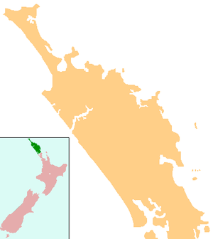
| District | Whangarei District |
Purua is a locality north west of Whangarei in Northland, New Zealand. A hill also called Purua with a summit 387 m above sea level lies to the east.[1][2] The area mainly consists of rolling hills and river flats. Farming is Dairy, Sheep and Beef. The local hall is one of the notable buildings.
Education
Purua School is a coeducational full primary (years 1-8) school with a decile rating of 5 and a roll of 19.[3]
Notes
- ↑ Peter Dowling (editor) (2004). Reed New Zealand Atlas. Reed Books. pp. map 7. ISBN 0-7900-0952-8.
- ↑ Roger Smith, GeographX (2005). The Geographic Atlas of New Zealand. Robbie Burton. pp. map 24. ISBN 1-877333-20-4.
- ↑ "Te Kete Ipurangi - Purua School". Ministry of Education.
This article is issued from Wikipedia - version of the 8/30/2015. The text is available under the Creative Commons Attribution/Share Alike but additional terms may apply for the media files.