Purton Stoke
Coordinates: 51°36′50″N 1°52′08″W / 51.614°N 1.869°W
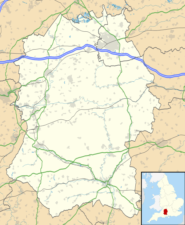
Purton Stoke is a small village in north Wiltshire, England, within the civil parish of Purton. The village is located along a side road off the Purton to Cricklade road, approximately 1.5 miles (2.4 km) north of Purton village. A small country lane gives access to the nearby hamlet of Bentham, to the southwest.
The River Key, a small tributary of the Thames, passes close to the west of the village.
History
Pond Farmhouse, south of the village, is from the 16th, 17th and 18th centuries and is on an earlier moated site. The house is Grade II* listed.[1]
Amenities
Purton Stoke has a Methodist chapel. The current building opened in 1868, complete with outbuildings for stabling visitors' horses. There was a Quaker Meeting House in the village during the late 17th century and early 18th century. The village also has a public house by the name of the Bell, which is a property of the Arkell's Brewery. The village post office has closed.
Until relatively recently, Purton Stoke had its own primary school. It opened in 1894 and at its peak had 100 pupils. However, numbers dropped continually from the 1930s when older pupils were educated in Purton, until there were only around 30 pupils left in the 1970s. The school closed in 1978.[2] The building is now used for the Jubilee Gardens Project and is situated on the Purton to Cricklade road.[3]
Stoke Common Meadows
The Wiltshire Wildlife Trust nature reserve, Stoke Common Meadows, can be found in the vicinity. Situated at the end of Stoke Common Lane (grid reference SU 070 904), the meadows consist of a small wood and grasslands, with ancient hedgerows and ditches. Wildlife found here includes mainly wildflowers: Pepper-saxifrage, sweet vernal-grass, heath spotted-orchid, adder’s-tongue fern (Ophioglossum), bugle, ox-eye daisy and common knapweed. Some of the fields are designated as a Site of Special Scientific Interest.
'Purton Spa' or the 'Salt Hole'
To the west of the village there is a spring, whose mineral waters supposedly carry medicinal properties. The water has a high concentration of lime phosphate. Locals had used the water for centuries for its health benefits; however, when the wealthy landowner, Dr Samuel Champernowne Sadler, MRCS, contracted an illness in the mid-19th century, he tried the water and became markedly better. After this, he erected a pump and pump house in 1859[4] and the water was sold commercially, in the 1920s selling for 8d. This continued until World War II, when petrol rationing made the business uneconomical.[5][6]
References
- ↑ Historic England. "Pond Farmhouse, Pond Land (1356025)". National Heritage List for England. Retrieved 13 January 2016.
- ↑ "Purton Stoke County School". Wiltshire Community History. Wiltshire Council. Retrieved 13 January 2016.
- ↑ Robbins, A (1991). Purton's Past. Purton Historical Society.
- ↑ Historic England. "Salt's Hole (317986)". Images of England. Retrieved 13 January 2016.
- ↑ Jordan, Katy (May 2000). "Salt's Hole, or Purton Spa". Living Spring Journal. Retrieved 13 January 2016.
- ↑ "Purton". Wiltshire Community History. Wiltshire Council. Retrieved 13 January 2016.
External links
![]() Media related to Purton Stoke at Wikimedia Commons
Media related to Purton Stoke at Wikimedia Commons

