Pulley, Shropshire
| Pulley | |
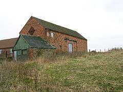 Farm buildings at Pulley |
|
 Pulley |
|
| OS grid reference | SJ482094 |
|---|---|
| Civil parish | Bayston Hill |
| Unitary authority | Shropshire |
| Ceremonial county | Shropshire |
| Region | West Midlands |
| Country | England |
| Sovereign state | United Kingdom |
| Post town | SHREWSBURY |
| Postcode district | SY3 |
| Dialling code | 01743 |
| Police | West Mercia |
| Fire | Shropshire |
| Ambulance | West Midlands |
| EU Parliament | West Midlands |
| UK Parliament | Shrewsbury and Atcham |
|
|
Coordinates: 52°40′48″N 2°45′58″W / 52.680°N 2.766°W
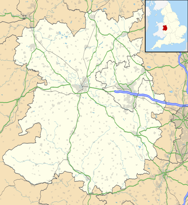
Pulley is a small village on the southern edge of Shrewsbury in Shropshire, England. It is located between Shrewsbury and Bayston Hill. The population at the 2011 Census is listed under Bayston Hill. The A5 Shrewsbury by-pass cuts through the area.
To the north is the Shrewsbury suburb of Meole Brace.
History
The modern placename of "Pulley" is listed in Folio 259r, and 260v, in the Domesday Book (c.1086) at the UK National Archives and was then spelled as "Polelie".
External links
![]() Media related to Pulley, Shropshire at Wikimedia Commons
Media related to Pulley, Shropshire at Wikimedia Commons
This article is issued from Wikipedia - version of the 1/24/2016. The text is available under the Creative Commons Attribution/Share Alike but additional terms may apply for the media files.