Pulau Seletar
 Pulau Seletar | |
| Geography | |
|---|---|
| Location | Straits of Johor |
| Coordinates | 1°26′33.18″N 103°51′45.3234″E / 1.4425500°N 103.862589833°ECoordinates: 1°26′33.18″N 103°51′45.3234″E / 1.4425500°N 103.862589833°E |
| Area | 38.5 ha (95 acres) |
| Administration | |
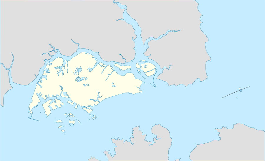
Pulau Seletar (or Seletar Island) is an island situated in the Straits of Johor off the northern coast of Singapore.[1] Located within Singapore waters, it has an area of 38.5 hectare.[2] It lies within a bay into which several streams flow, including the waters of mainland Singapore's only hot spring.[3][4]
Pulau Seletar is home to mangrove trees, the tallest of which reach a height of 80 feet.[4]
References
- ↑ Chen, Junhao; Chong, Kwek Yan; Yee, Alex T. K.; Tan, Hugh T.W. (2014). A Gazetteer of the Singapore Locality Names of the Collections of the Herbarium, Singapore Botanic Gardens. (PDF). Singapore: Lee Kong Chian Natural History Museum, National University of Singapore. p. 15. ISBN 978-981-07-2589-1.
- ↑ "Islands of Singapore". Singapore Infopedia. National Library Board, Singapore. Retrieved 8 March 2016.
- ↑ Waller, Edmund (2001). Landscape Planning in Singapore. NUS Press. p. 89. ISBN 9789971692384.
- 1 2 United States Hydrographic Office (1962). Publications ... Issue 70; Issue 162. U.S. Government Printing Office. p. 230.
This article is issued from Wikipedia - version of the 11/24/2016. The text is available under the Creative Commons Attribution/Share Alike but additional terms may apply for the media files.