Aur Island
| Native name: <span class="nickname" ">Pulau Aur ڤولاو اءور | |
|---|---|
|
A small scenic beach on Pulau Aur | |
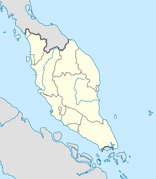
 Aur Island Aur Island, approx. 76 kilometres (47 mi) west of the mainland | |
| Geography | |
| Location | South China Sea |
| Coordinates | 2°27′10.224″N 104°31′18.966″E / 2.45284000°N 104.52193500°ECoordinates: 2°27′10.224″N 104°31′18.966″E / 2.45284000°N 104.52193500°E |
| Administration | |
| Demographics | |
| Population | ~100 (2012)[1] |
| Additional information | |
| Time zone |
|
The Aur Island (Malay: Pulau Aur) is an island in Mersing District, Johor, Malaysia. It lies about 76 kilometres (47 mi) east of Mersing Town and is part of the Johor Marine Park. Its corals, lagoons and offshore pools make it a tourist attraction. It has for many years also always been a frequent stopover point for fishermen.
There is also a smaller island close by, Dayang Island, which is separated from Aur Island by a narrow channel of about 400 metres (1,300 ft) width at the narrowest point. Both islands are home to Singaporean diving companies, divers reach the island by chartered boats from Mersing or Singapore.
Due to its overwhelming distance from the mainland of Peninsula Malaysia, Aur Island offers the clearest of waters and the most exciting dive sites in this part of the country. Marine life commonly seen by divers include Manta-Ray, Barracudas, Whitetip Sharks, Rays, Napoleon Wrasse, Jacks, Trevally, Yellowback Fusiliers, Turtle, Angelfish, Titan Trigger Fish and Bumphead Parrotfish.
The Aur Island weather is affected by the monsoon winds that blows from South China Sea and the Straits of Malacca. The northeast monsoon blows the wind from South China Sea from November to March and this is the time when the east coast states have heavy rainfall. Sea activities at this time are very much confined and the main activities at this time is usually the maintenance of boats and fishing related equipment as well as kite flying.
The west coast of Aur Island states are influenced by the southwest monsoon that blows the wind from the Straits of Malacca during the months of May to September. The periods between the monsoons are usually marked by heavy rainfall. The mountains have lower temperature range due to their higher altitude and the temperature ranges from 16 to 24 °C (61 to 75 °F).
The 1804 naval Battle of Pulo Aura between the British and the French took place in the island's vicinity during the Napoleonic Wars.
See also
References
- ↑ "Aur & Dayang Island". myoutdoor.com. Retrieved 6 June 2015.