Pujehun
| Pujehun, Sierra Leone | |
|---|---|
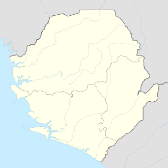 Pujehun, Sierra Leone Location in Sierra Leone | |
| Coordinates: 7°21′2″N 11°43′5″W / 7.35056°N 11.71806°WCoordinates: 7°21′2″N 11°43′5″W / 7.35056°N 11.71806°W | |
| Country |
|
| Province | Southern Province |
| District | Pujehun District |
| Population (current estimate[1]) | |
| • Total | 30,121 |
| Time zone | GMT (UTC-5) |
Pujehun is the capital of Pujehun District in the Southern Province of Sierra Leone.[2][3] The 1985 census gives pujehun a population of 3,859[1] with the population estimated to have grown to 9,121[1] in 2010 and a current estimate of 30,000 people.
Pujehun is a rural town and is the commercial and administrative center of Pujehun District. Pujehun lies about 50 miles south of Bo, and about 200 miles -south-east of Freetown. The inhabitant of Pujehun are largely from the Mende ethnic group.
History
Pujehun was named after the powerful Mende warrior Nyagua, who was residing at the nearby village of Panguma. When Nyagua and his men went to battle, they used the site of the present village as their resting place. At that time There was a lot of pepper growing in the town, which the Mende call "puei." At any time they reached that area, they called it Pujehun.
Ethniciy
The majority of the population in Pujehun are from the Mende ethnic group.
References
- 1 2 3 "Pujehun". World Gazetteer. 2010. Archived from the original on 10 February 2013. Retrieved 23 February 2011.
- ↑ Remmert-Fontes, Inge (2006), (Extract from) Evaluation Report "Peace building projects in Sierra Leone" (PDF), Freetown, Sierra Leone, p. 32
- ↑ Boland, Sarah (8 February 2011). "Sierra Leone: Buzz of excitement in the air in Pujehun". Save the Children. Retrieved 23 February 2011.
| District capital | 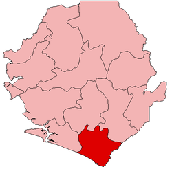 | |
|---|---|---|
| Chiefdoms |
| |
| Towns | ||