Puig Neulós
| Puig Neulós | |
|---|---|
 Puig Neulós summit | |
| Highest point | |
| Elevation | 1,256 m (4,121 ft) |
| Coordinates | 42°28′55″N 2°56′49″E / 42.48194°N 2.94694°ECoordinates: 42°28′55″N 2°56′49″E / 42.48194°N 2.94694°E |
| Geography | |
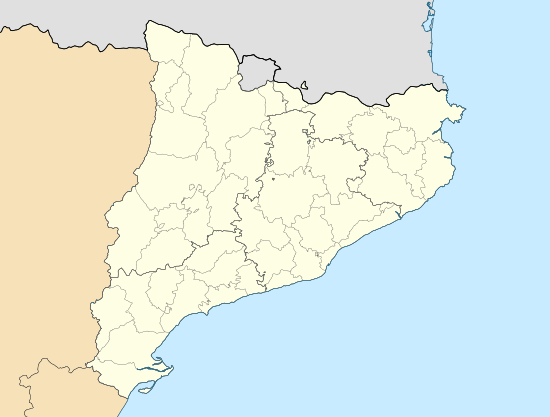 Puig Neulós Catalonia, Spain | |
| Location |
La Jonquera (Alt Empordà) Sureda (Rosselló) |
| Parent range | Albera Range |
| Climbing | |
| First ascent | Unknown |
| Easiest route | From La Roca d'Albera |
Puig Neulós (French: Pic du Néoulous) is the highest mountain of Albera Range, an eastern prolongation of the Pyrenees in Catalonia, between France and Spain. It has an elevation of 1,256 metres above sea level.[1]
There are some antennas on the summit and there is a paved road on the French side restricted to military use. The summit, as well as most of the southern side of the range is part of the Paratge Natural d'Interès Nacional de l'Albera natural reserve.[2]
See also
- Paratge Natural d'Interès Nacional de l'Albera
- Mountains of Catalonia
References
- ↑ "Mapa Topogràfic de Catalunya". Institut Cartogràfic de Catalunya. Retrieved May 22, 2010..
- ↑ Paratge Natural d'Interès Nacional de l'Albera
External links
- Requesens - Puig Neulós hiking route
- Manel Figuera i Abadal, 50 ascensions fàcils pel Pirineu català, Valls, Cossetània, 2008
This article is issued from Wikipedia - version of the 8/8/2016. The text is available under the Creative Commons Attribution/Share Alike but additional terms may apply for the media files.