Preston, Nova Scotia
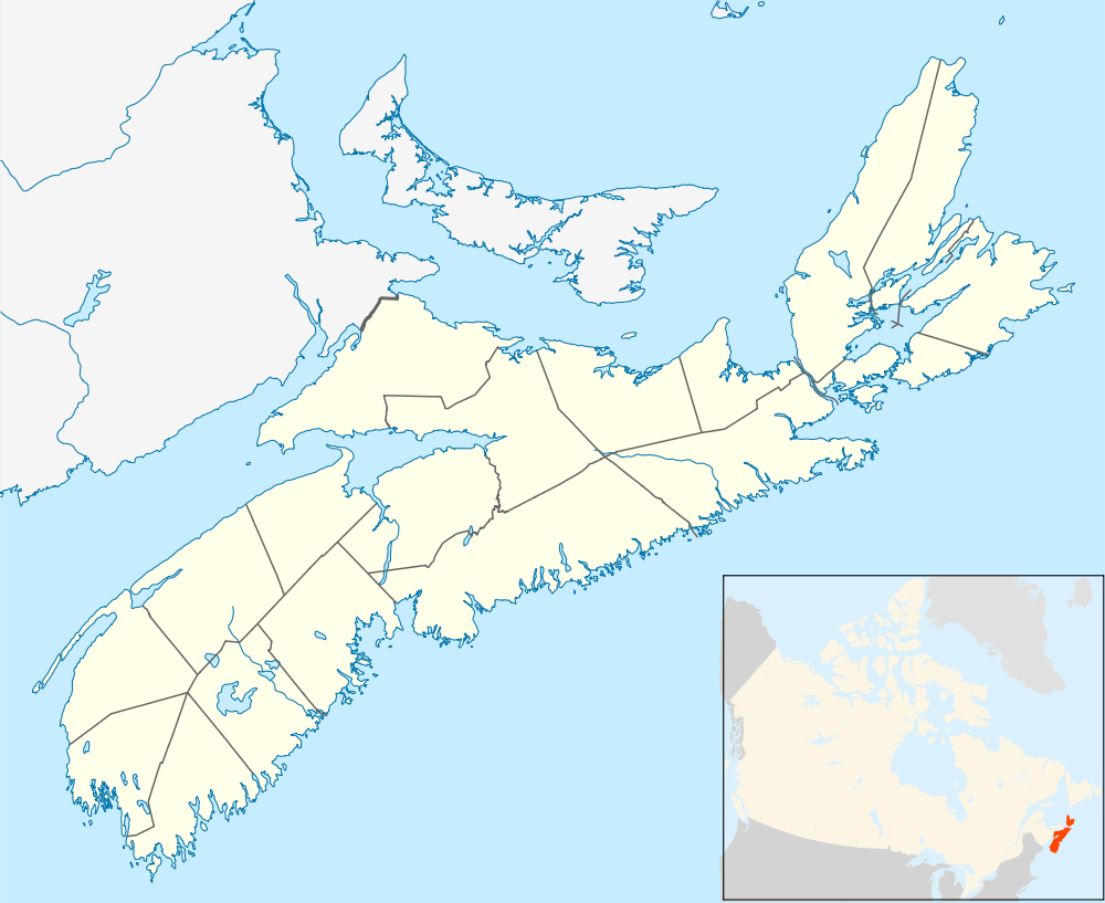
Preston is an area in central Nova Scotia, Canada in the Halifax Regional Municipality, located on Trunk 7. The population in 2006 was 2,360 including those in East Preston and North Preston.[1]
Preston's previous community boundaries stretched westward into parts of Cherry Brook to Highway 111, and eastward through what is now Lake Echo and Porter's Lake to Myra Road. (including through East Preston), North to North Preston, and South through parts to the boundaries of Lawrencetown). No community is known strictly as "Preston". The term is used to refer to the area encompassed by the communities of East Preston, North Preston, and Cherry Brook, or in reference to the Preston Electoral District.
The area is believed to have been named after Preston, Lancashire, England or Thomas Preston, a British army officer involved in the Boston Massacre at the beginning of the American Revolution.[2] It was among the areas where the Crown granted lands to Black Loyalists from the Thirteen Colonies; it had promised them freedom and resettled more than 3,000 former slaves in Nova Scotia. Reflecting its early history, Preston has the largest percentage of black people of any area in Canada; 69.4% of its population is black.[1]
The mulatto Nova Scotian leader and clergyman, Richard Preston (1792-), took this surname after becoming reunited here with his mother, who was resettled in Preston along with others of the 2,000 black refugee slaves who gained freedom with the British during the War of 1812 in the United States. Richard had bought his freedom from slavery in Virginia as an adult, and then went to Nova Scotia in search of his mother. He became a prominent Baptist preacher and political leader.[3]
Wayne Adams, the first Black MLA and Cabinet Minister in Nova Scotia, is from East Preston. A World Heavyweight contender in boxing, Kirk Johnson, is from North Preston.
Notable residents
- Wayne Adams (1943-), politician
- Gary Beals (1982-), R&B singer and Canadian Idol finalist
- Custio Clayton (1987-), boxer
- Kirk Johnson (1972-), boxer
- Mary Jane Katzmann (1828-1890), historian, poet, and editor
- Dwayne Provo (1970-), politician/athlete
References
Coordinates: 44°42′56.4″N 63°26′3.2″W / 44.715667°N 63.434222°W