Portsea Hole
| Portsea Hole | |
|---|---|
 | |
| Location | Port Phillip Heads Marine National Park, Port Phillip, Victoria |
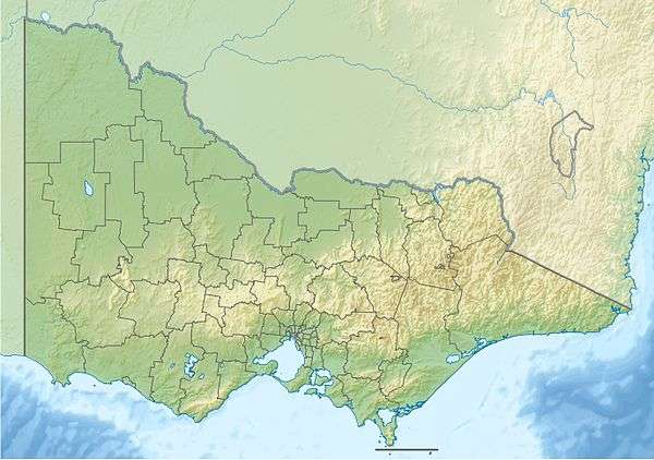
| Coordinates | 38°18′39″S 144°42′40″E / 38.3109°S 144.7111°ECoordinates: 38°18′39″S 144°42′40″E / 38.3109°S 144.7111°E |
| Elevation | descends 20–32 m (66–105 ft)[1] |
| Length | 400 metres (1,300 ft)[2] |
| Width | 250 metres (820 ft)[2] |
| Area | 10 hectares (25 acres)[2] |
| Operator | Parks Victoria |
| Designation | IUCN II – marine park |
| Website | Portsea Hole at Parks Victoria |
The Portsea Hole is a depression in the seafloor of Port Phillip near Portsea in Victoria, Australia. The undefined area of the depression, generally assessed at 10 hectares (25 acres), is one of six separate areas that comprise the Port Phillip Heads Marine National Park and is a popular site for divers.[2]
Features
The Portsea Hole is a remnant section of the drowned valley of the Yarra River, descending sharply from the 12 metres (39 ft) depth of the surrounding seabed to 32 metres (105 ft), exposing changes in the strata of the limestone sides with depth. It is characterized by diverse and abundant fish assemblages as well as a rich benthic community of marine invertebrates, encrusting algae, sponges and soft corals.[2]
See also
References
- ↑ "Portsea Hole". Parks Victoria. Government of Victoria. 2014. Retrieved 27 August 2014.
- 1 2 3 4 5 Port Phillip Heads Marine National Park Management Plan (PDF). Parks Victoria (PDF). Melbourne: Government of Victoria. July 2006. pp. 1, 5. ISBN 0-7311-8349-5. Retrieved 27 August 2014.
External links
- "Port Phillip Heads Marine National Park". Parks Victoria. Government of Victoria.
This article is issued from Wikipedia - version of the 1/12/2015. The text is available under the Creative Commons Attribution/Share Alike but additional terms may apply for the media files.