Port Nelson Airport
| Port Nelson Airport New Port Nelson Airport | |||||||||||
|---|---|---|---|---|---|---|---|---|---|---|---|
| IATA: RCY – ICAO: MYRP | |||||||||||
| Summary | |||||||||||
| Airport type | Public | ||||||||||
| Serves | Rum Cay, Bahamas | ||||||||||
| Location | Port Nelson | ||||||||||
| Elevation AMSL | 15 ft / 5 m | ||||||||||
| Coordinates | 23°41′04″N 074°50′10″W / 23.68444°N 74.83611°WCoordinates: 23°41′04″N 074°50′10″W / 23.68444°N 74.83611°W | ||||||||||
| Map | |||||||||||
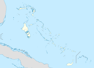 MYRP Location in The Bahamas | |||||||||||
| Runways | |||||||||||
| |||||||||||
Port Nelson Airport or New Port Nelson Airport (IATA: RCY, ICAO: MYRP) is an airport located near Port Nelson, on Rum Cay in The Bahamas.[1]
Facilities
The airport resides at an elevation of 15 ft (4.6 m) above mean sea level. It has one runway designated 09/27 with an asphalt surface measuring 1,372 m × 30 m (4,501 ft × 98 ft).[1]
References
- 1 2 3 Airport information for MYRP at World Aero Data. Data current as of October 2006.Source: DAFIF.
- ↑ Airport information for RCY at Great Circle Mapper. Source: DAFIF (effective October 2006).
External links
This article is issued from Wikipedia - version of the 12/4/2016. The text is available under the Creative Commons Attribution/Share Alike but additional terms may apply for the media files.