Porostov
| Porostov | |
| Municipality | |
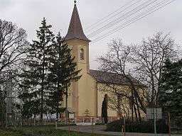 Main church in Porostov | |
| Country | Slovakia |
|---|---|
| Region | Košice |
| District | Sobrance |
| Tourism region | Dolný Zemplín |
| Elevation | 109 m (358 ft) |
| Coordinates | SK 48°41′50″N 22°10′40″E / 48.69722°N 22.17778°ECoordinates: SK 48°41′50″N 22°10′40″E / 48.69722°N 22.17778°E |
| Area | 7.294 km2 (2.816 sq mi) |
| Population | 208 (31 December 2010) |
| Density | 29/km2 (75/sq mi) |
| First mentioned | 1412 |
| Timezone | CET (UTC+1) |
| - summer (DST) | CEST (UTC+2) |
| Postal code | 072 55 |
| Phone prefix | 421-56 |
| Car plate | SO |
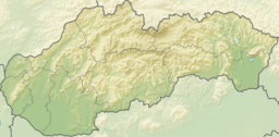 Location of Porostov within Slovakia | |
| Statistics: | |
| Website: www.porostov.e-obce.sk | |
Porostov is a village and municipality in the Sobrance District in the Košice Region of east Slovakia.
History
In historical records the village was first mentioned in 1412.
Geography
The village lies at an altitude of 107 metres and covers an area of 7.298 km². It has a population of about 335 people.
Culture
The village has a public library and a soccer pitch.
External links
This article is issued from Wikipedia - version of the 4/3/2016. The text is available under the Creative Commons Attribution/Share Alike but additional terms may apply for the media files.