Point Aconi, Nova Scotia
Point Aconi (2001 pop.: 176) is a rural community in Nova Scotia at the northeastern tip of Boularderie Island. It derives its name from the headland of the same name, Point Aconi.
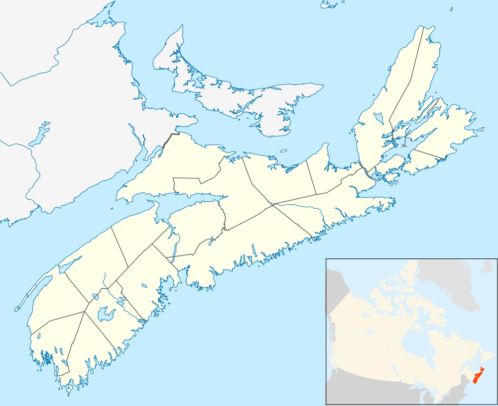
Point Aconi is located in the Cape Breton Regional Municipality and fronts the Cabot Strait along the northeastern shore of Boularderie Island.
Coal mining

The region sits over the northern end of the Sydney Coal Field, a large coal field which extends at an angle under the Cabot Strait. Specifically, the Point Aconi area is home to the Hub coal seam of the Sydney Mines Formation (Upper Carboniferous).
As such, the area around Point Aconi has been commercially mined since the early 19th century, first by the General Mining Association (GMA), then by the Nova Scotia Steel and Coal Company (SCOTIA) and later the British Empire Steel Corporation (BESCO) and its successors, the Dominion Steel and Coal Corporation (DOSCO) and the federal Crown corporation Cape Breton Development Corporation (DEVCO).
Point Aconi was home to the last underground coal mine in operation in Nova Scotia, the Prince Colliery, which was opened by DEVCO during the global energy crisis in the early 1970s. A limited access road, Highway 162, was constructed from the Trans-Canada Highway Highway 105 to the south in order to relieve local roads of traffic congestion during shift changes at the mine, as well as from dump trucks hauling the coal.
The then-provincial Crown corporation Nova Scotia Power Corp. constructed the Point Aconi Generating Station adjacent to the mine in the early 1990s to take advantage of the readily available fuel source.
The Prince mine was closed in November 2001, ending underground mining in Nova Scotia. However, the Point Aconi GS continues to operate as it is the most modern thermal generating station in Nova Scotia and provides lower emissions than older plants of a similar size.
Several proposals have been made in recent years to strip mine remaining coal deposits near the surface in the Point Aconi area. However, this proposal has met with strong community opposition, citing fears of contamination and changes to groundwater supplies, as well as industrial nuisance through deteriorated air quality and noise which would lead to lower property values.
Climate
The highest temperature ever recorded in Point Aconi was 36.0 °C (96.8 °F) on 10 August 2001, and the coldest temperature ever recorded was −27.0 °C (−16.6 °F) on 8 February 1993.
| Climate data for Point Aconi Generating Station, 1981–2010 normals, extremes 1990–present | |||||||||||||
|---|---|---|---|---|---|---|---|---|---|---|---|---|---|
| Month | Jan | Feb | Mar | Apr | May | Jun | Jul | Aug | Sep | Oct | Nov | Dec | Year |
| Record high °C (°F) | 16.7 (62.1) |
17.1 (62.8) |
22.7 (72.9) |
24.7 (76.5) |
28.1 (82.6) |
33.1 (91.6) |
33.5 (92.3) |
36.0 (96.8) |
32.3 (90.1) |
26.8 (80.2) |
19.7 (67.5) |
17.6 (63.7) |
36.0 (96.8) |
| Average high °C (°F) | −0.6 (30.9) |
−1.2 (29.8) |
2.1 (35.8) |
6.0 (42.8) |
12.9 (55.2) |
19.3 (66.7) |
23.4 (74.1) |
23.8 (74.8) |
19.6 (67.3) |
13.3 (55.9) |
7.3 (45.1) |
2.7 (36.9) |
10.7 (51.3) |
| Daily mean °C (°F) | −4.4 (24.1) |
−5.3 (22.5) |
−1.7 (28.9) |
2.5 (36.5) |
8.2 (46.8) |
14.2 (57.6) |
18.5 (65.3) |
19.2 (66.6) |
15.4 (59.7) |
9.6 (49.3) |
4.4 (39.9) |
−0.4 (31.3) |
6.7 (44.1) |
| Average low °C (°F) | −8.2 (17.2) |
−9.4 (15.1) |
−5.4 (22.3) |
−1.0 (30.2) |
3.4 (38.1) |
9.0 (48.2) |
13.5 (56.3) |
14.5 (58.1) |
11.2 (52.2) |
5.9 (42.6) |
1.4 (34.5) |
−3.5 (25.7) |
2.6 (36.7) |
| Record low °C (°F) | −23.3 (−9.9) |
−27.0 (−16.6) |
−25.4 (−13.7) |
−13.0 (8.6) |
−6.0 (21.2) |
−2.0 (28.4) |
3.0 (37.4) |
4.3 (39.7) |
−0.6 (30.9) |
−4.1 (24.6) |
−7.7 (18.1) |
−21.0 (−5.8) |
−27.0 (−16.6) |
| Average precipitation mm (inches) | 127.6 (5.024) |
113.8 (4.48) |
131.6 (5.181) |
117.5 (4.626) |
103.6 (4.079) |
70.1 (2.76) |
98.1 (3.862) |
74.3 (2.925) |
119.5 (4.705) |
155.0 (6.102) |
132.8 (5.228) |
137.7 (5.421) |
1,381.4 (54.386) |
| Average rainfall mm (inches) | 72.0 (2.835) |
60.2 (2.37) |
93.0 (3.661) |
91.7 (3.61) |
103.3 (4.067) |
70.1 (2.76) |
98.1 (3.862) |
74.3 (2.925) |
119.5 (4.705) |
155.0 (6.102) |
127.0 (5) |
103.4 (4.071) |
1,164.4 (45.843) |
| Average snowfall cm (inches) | 55.6 (21.89) |
53.6 (21.1) |
38.6 (15.2) |
25.8 (10.16) |
0.3 (0.12) |
0.0 (0) |
0.0 (0) |
0.0 (0) |
0.0 (0) |
0.0 (0) |
5.8 (2.28) |
34.3 (13.5) |
214.0 (84.25) |
| Source #1: Environment Canada[1] | |||||||||||||
| Source #2: Weatherbase[2] | |||||||||||||
References
- ↑ "Point Aconi". Canadian Climate Data. Environment Canada. Retrieved 30 April 2016.
- ↑ "Point Aconi, Nova Scotia". Weatherbase. Weatherbase. Retrieved 27 December 2015.
Coordinates: 46°19′6.8″N 60°18′31.1″W / 46.318556°N 60.308639°W