Podor Airport
| Podor Airport | |||||||||||
|---|---|---|---|---|---|---|---|---|---|---|---|
| IATA: POD – ICAO: GOSP | |||||||||||
| Summary | |||||||||||
| Airport type | Public | ||||||||||
| Serves | Podor, Senegal | ||||||||||
| Elevation AMSL | 20 ft / 6 m | ||||||||||
| Coordinates | 16°40′41″N 014°57′54″W / 16.67806°N 14.96500°W | ||||||||||
| Map | |||||||||||
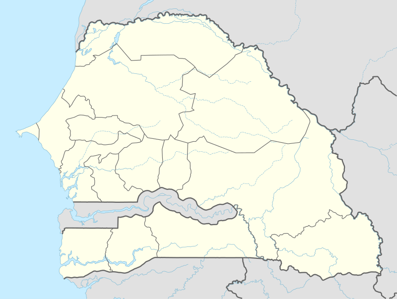 POD Location within Senegal | |||||||||||
| Runways | |||||||||||
| |||||||||||
Podor Airport is an airport serving Podor, a town in the Saint-Louis Region of Senegal. Podor is located on Morfil Island between the Sénégal River and Doué River.
References
- ↑ Airport information for GOSP / POD at Great Circle Mapper.
- ↑ Podor Airport coordinates from WikiMapia
External links
This article is issued from Wikipedia - version of the 9/6/2015. The text is available under the Creative Commons Attribution/Share Alike but additional terms may apply for the media files.