Pittsburg–Clarksville Covered Bridge
| Pittsburg–Clarksville Covered Bridge | |
|---|---|
 | |
| Coordinates | 45°03′16″N 71°24′25″W / 45.05444°N 71.40694°WCoordinates: 45°03′16″N 71°24′25″W / 45.05444°N 71.40694°W |
| Crosses | Connecticut River |
| Locale | Pittsburg, New Hampshire to Clarksville, New Hampshire |
| Maintained by | towns of Pittsburg and Clarksville |
| ID number | 29-04-03 (NH #34) |
| Characteristics | |
| Design | Paddleford truss with added arches[1] |
| Total length | 88.5 ft (27.0 m) |
| Width | 19.25 ft (5.9 m) (maximum); 15 ft (4.6 m) (roadway) |
| Longest span | 70 ft (21.3 m) |
| Clearance above | 12.83 ft (3.911 m) |
| History | |
| Construction end | around 1876 |
| Closed | 1981 |
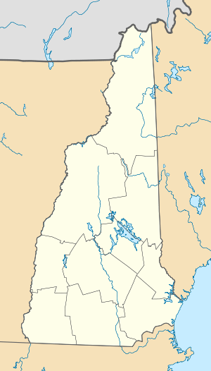
 Pittsburg–Clarksville Covered Bridge Location in New Hampshire | |
The Pittsburg–Clarksville Covered Bridge (also known as the Bacon Road Bridge) is a wooden Paddleford truss bridge with added arches over the Connecticut River located between Pittsburg and Clarksville, New Hampshire. It was closed to traffic in 1981. The bridge is the northernmost covered bridge crossing the Connecticut River.
History
It was rehabilitated in 1974 at a cost of $6,700 which was shared by the towns of Pittsburg and Clarksville, and the state.
See also
External links
References
This article is issued from Wikipedia - version of the 10/9/2016. The text is available under the Creative Commons Attribution/Share Alike but additional terms may apply for the media files.