Pitts Town Airport
| Pitts Town Point Airport | |||||||||||
|---|---|---|---|---|---|---|---|---|---|---|---|
| IATA: PWN – ICAO: MYCP | |||||||||||
| Summary | |||||||||||
| Airport type | Public | ||||||||||
| Serves | Pitts Town Point | ||||||||||
| Location | Bahamas | ||||||||||
| Elevation AMSL | 0 ft / 0 m | ||||||||||
| Coordinates | 22°49′47.0″N 74°20′47.1″W / 22.829722°N 74.346417°WCoordinates: 22°49′47.0″N 74°20′47.1″W / 22.829722°N 74.346417°W | ||||||||||
| Map | |||||||||||
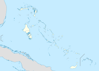 MYCP Location of Pitts Town Point Airport in the Bahamas | |||||||||||
| Runways | |||||||||||
| |||||||||||
Pitts Town Point Airport (IATA: PWN, ICAO: MYCP) is a public use airport located near Pitts Town Point, the Bahamas.
See also
References
- ↑ Airport record for Pitts Town Point Airport at Landings.com. Retrieved 2013-08-08
- ↑ Google (2013-08-08). "location of Pitts Town Point Airport" (Map). Google Maps. Google. Retrieved 2013-08-08.
Runway length at MYCP is 3,500 feet long. Width is 40 feet. Asphalt
External links
- Airport record for Pitts Town Point Airport at Landings.com
This article is issued from Wikipedia - version of the 11/9/2016. The text is available under the Creative Commons Attribution/Share Alike but additional terms may apply for the media files.