Pīr Kanthi
| Pir Kanthi | |
|---|---|
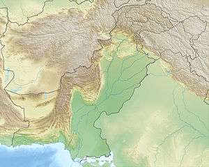 Pir Kanthi Location within Pakistan | |
| Highest point | |
| Elevation | 3,321 m (10,896 ft) |
| Coordinates | 34°18′58″N 73°54′22″E / 34.31611°N 73.90611°ECoordinates: 34°18′58″N 73°54′22″E / 34.31611°N 73.90611°E |
| Geography | |
| Location | Bagh District, Azad Kashmir, Pakistan |
| Parent range | Pir Panjal |
Pīr Kanthi is located in Bagh District, Azad Kashmir, in the mountains of the Pir Panjal Range. It is estimated to be 3,243 metres (2.015 mi) above sea level.[1]
It is about 200 kilometres (660,000 ft) northeast of Islamabad. At Sudhan Gali, visitors who arrive by car can park and walk to the top of the path that leads to Shar Comp. Although mountaineering is fairly easy hike to the peak, climbers have been killed in storms. At this peak, the hiker can see a beautiful view of the Himalayan mountains. The water comes from the mountain Jhelum River.
References
- ↑ "Pīr Kanthi (peak)". Geoview.info. Retrieved 18 August 2015.
This article is issued from Wikipedia - version of the 11/11/2015. The text is available under the Creative Commons Attribution/Share Alike but additional terms may apply for the media files.