Pinar del Río Airport
| Pinar del Río Airport | |||||||||||
|---|---|---|---|---|---|---|---|---|---|---|---|
|
IATA: | |||||||||||
| Summary | |||||||||||
| Airport type | Public | ||||||||||
| Serves | Pinar del Río, Cuba | ||||||||||
| Elevation AMSL | 40 m / 131 ft | ||||||||||
| Coordinates | 22°25′17″N 083°40′42″W / 22.42139°N 83.67833°WCoordinates: 22°25′17″N 083°40′42″W / 22.42139°N 83.67833°W | ||||||||||
| Map | |||||||||||
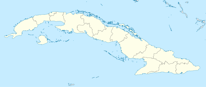 MUPR Location in Cuba | |||||||||||
| Runways | |||||||||||
| |||||||||||
Pinar del Río Airport (IATA: QPD, ICAO: MUPR) is an abandoned airport formerly serving Pinar del Río,[1] the capital city of the Pinar del Río Province in Cuba.
Facilities
The airport resides at an elevation of 40 m (130 ft) above mean sea level. It has one runway designated 08/26 with an asphalt surface measuring 1,120 m × 37 m (3,675 ft × 121 ft).[1]
See also
References
- 1 2 3 Airport information for MUPR at World Aero Data. Data current as of October 2006.Source: DAFIF.
- ↑ Airport information for MUPR at Great Circle Mapper. Source: DAFIF (effective October 2006).
External links
This article is issued from Wikipedia - version of the 12/4/2016. The text is available under the Creative Commons Attribution/Share Alike but additional terms may apply for the media files.