Panilonco Aerodrome
| Panilonco Aerodrome Aeródromo Panilonco | |||||||||||
|---|---|---|---|---|---|---|---|---|---|---|---|
| IATA: none – ICAO: SCMU | |||||||||||
| Summary | |||||||||||
| Airport type | Aerodrome | ||||||||||
| Owner | Sociedad Agrícola Ganadera y Forestal Las Cruces Ltda. | ||||||||||
| Location | Cardonal de Panilonco, Pichilemu, Chile | ||||||||||
| Elevation AMSL | 574 ft / 175 m | ||||||||||
| Coordinates | 34°17′8.8″S 071°56′57.8″W / 34.285778°S 71.949389°WCoordinates: 34°17′8.8″S 071°56′57.8″W / 34.285778°S 71.949389°W | ||||||||||
| Map | |||||||||||
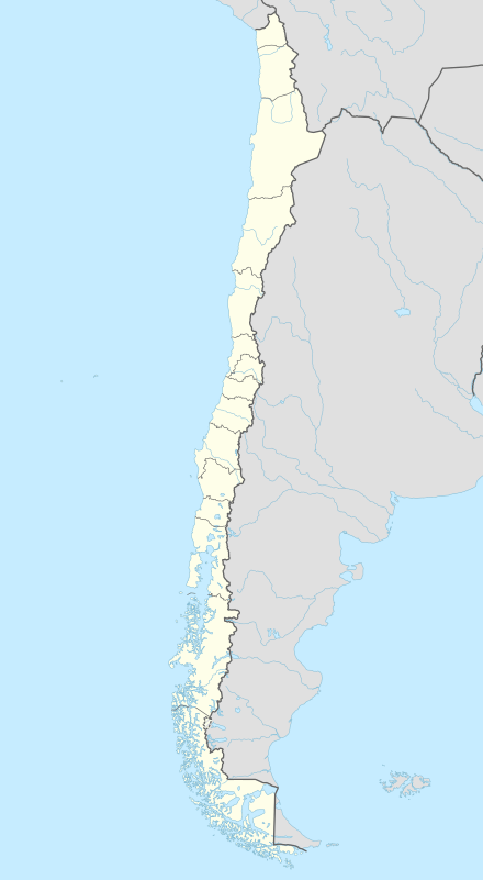 SCMU Location of Pichilemu Panilonco Airport in Chile | |||||||||||
| Runways | |||||||||||
| |||||||||||
Panilonco Aerodrome (Spanish: Aeródromo Panilonco) (ICAO: SCMU) is an aerodrome located 11 kilometres (6.8 mi) north of Pichilemu, O'Higgins Region, Chile, in the Cardonal de Panilonco rural area.[1]
It is owned by Sociedad Agrícola Ganadera y Forestal Las Cruces Ltda., and it was authorized by Dirección General de Aeronáutica Civil on February 19, 1998.[1]
See also
References
- 1 2 3 "Exenta N° 29/0200" (PDF) (in Spanish). Santiago, Chile: Direccion General de Aeronáutica Civil. February 19, 1998. Retrieved 10 November 2010.
- ↑ Airport record for Pichilemu Panilonco Airport at Landings.com. Retrieved 2013-09-10
- ↑ Google (2013-09-10). "location of Pichilemu Panilonco Airport" (Map). Google Maps. Google. Retrieved 2013-09-10.
| |
| Government | |
| National Monuments |
|
| Schools |
|
| Media | |
| Villages | |
| See also |
|
| |
This article is issued from Wikipedia - version of the 11/9/2016. The text is available under the Creative Commons Attribution/Share Alike but additional terms may apply for the media files.