Piarco
| Piarco | |
|---|---|
| Town | |
|
| |
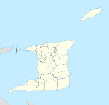 Piarco Location | |
| Coordinates: TT 10°35′N 061°20′W / 10.583°N 61.333°WCoordinates: TT 10°35′N 061°20′W / 10.583°N 61.333°W | |
| Country | Trinidad and Tobago |
| Corporation | Tunapuna-Piarco Regional Corporation |
| Elevation[1] | 58 ft (18 m) |
| Ranked | |
| Time zone | AST (UTC−4) |
| Area code(s) | 669 |

Piarco, a town in northern Trinidad, is the site of Piarco International Airport (IATA: POS, ICAO: TTPP). It also includes the village of St. Helena. Piarco is the site of one of the few natural savannas in Trinidad and Tobago, the Piarco Savanna. Most of this savanna land has been incorporated into the airport.
Piarco, which is located south of Trincity and Tunapuna, is administered by the Tunapuna-Piarco Regional Corporation.
Caribbean Airlines has its headquarters in the Iere House, Piarco.[2] Prior to the establishment of Caribbean Airlines, BWIA West Indies Airways was headquartered on the airport property in Piarco.[3]
The Airports Authority of Trinidad and Tobago has its headquarters in the Airports Administration Centre, in the South Terminal of the airport.[4]
References
- ↑ Aerodrome chart
- ↑ "Contact Us > Caribbean." Caribbean Airlines. Retrieved on 13 September 2012. "Iere House Golden Grove Road Piarco Trinidad, West Indies"
- ↑ "World Airline Directory." Flight International. March 23, 1999. 66. Retrieved on September 30, 2009. "Administration Building, Golden Grove Road, Piarco International Airport, PO Box 604, Port of Spain, Trinidad and Tobago"
- ↑ "Contact Us." Airports Authority of Trinidad and Tobago. Retrieved on 12 January 2011. "Airports Authority of Trinidad and Tobago Airports Administration Centre Piarco International Airport South Terminal Golden Grove Road, Piarco."