Phu Si Lung
| Pu Si Lung | |
|---|---|
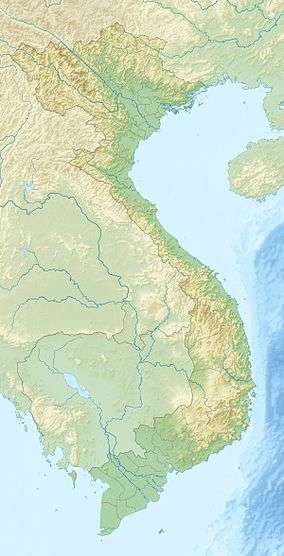 Pu Si Lung Location in Vietnam, on the border with China | |
| Highest point | |
| Elevation | 3,076 m (10,092 ft) |
| Prominence | 1,750 m (5,740 ft) |
| Listing | Ultra |
| Coordinates | 22°38′N 102°47′E / 22.633°N 102.783°ECoordinates: 22°38′N 102°47′E / 22.633°N 102.783°E |
| Geography | |
| Location | China – Vietnam border |
Pu Si Lung (Núi Pu Si Lung, sometimes Phu Si Lung, Phu Xi Lùng), is a mountain in Southeast Asia on the international border between China and Vietnam. The peak, narrowly on the Vietnamese side, is 3,076 metres tall.[1][2]
The mountain is in the xã (commune) Pa Vệ Sử, Mường Tè District, Lai Châu Province. It is adjacent to Pu Tả Tông (2,109 m) and Pu Đen Đinh (1,886 m).
References
- ↑ Các văn hóa trước Hòa Bình và Hòa Bình ở bắc Đông Dương - Page 16 Quôć Trị Trâǹ, Viện Đông Nam Á (Vietnam) - 1993 "Vê phía cực Tây Bắc của dáy cao nguyên và dải trúng này, ven biên giới Việt Trung là dãy Pu Si Lung, có đỉnh cao đến trên 3000m, không kém gì .."
- ↑ John R. Jones Guide to Vietnam Page 4 - 1994 "Some high peaks are found here including Pu Si Lung (3,076m), reached via calcareous mamillated plateaux."
This article is issued from Wikipedia - version of the 8/10/2015. The text is available under the Creative Commons Attribution/Share Alike but additional terms may apply for the media files.