Petrofani
| Petrofani | |
|---|---|
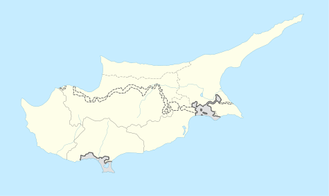 Petrofani Location in Cyprus | |
| Coordinates: 35°2′45″N 33°31′10″E / 35.04583°N 33.51944°ECoordinates: 35°2′45″N 33°31′10″E / 35.04583°N 33.51944°E | |
| Country |
|
| District | Larnaca District |
| Time zone | EET (UTC+2) |
| • Summer (DST) | EEST (UTC+3) |
Petrofani (Greek: Πετροφάνι; Turkish: Esendağ) is an abandoned village in central Cyprus. It is located in the Larnaca District and is about 2.5 kilometers southwest of Athienou. Petrofani is close to the United Nations Buffer Zone in Cyprus. Prior to 1974, the village was inhabited by Turkish Cypriots.[1]
References

This article is issued from Wikipedia - version of the 10/23/2014. The text is available under the Creative Commons Attribution/Share Alike but additional terms may apply for the media files.