Penumudi
| Penumudi పెనుమూడి | |
|---|---|
| Village | |
|
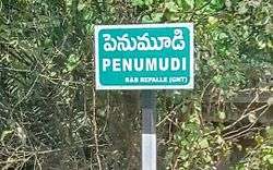
A signboard of Penumdi village | |
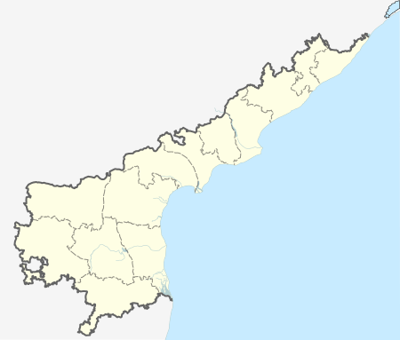
 Penumudi Location in Andhra Pradesh, India | |
| Coordinates: 16°01′59″N 80°52′13″E / 16.0330°N 80.8703°ECoordinates: 16°01′59″N 80°52′13″E / 16.0330°N 80.8703°E | |
| Country | India |
| State | Andhra Pradesh |
| District | Guntur |
| Mandal | Tenali |
| Area[1] | |
| • Total | 5.53 km2 (2.14 sq mi) |
| Population (2011)[2] | |
| • Total | 3,534 |
| • Density | 640/km2 (1,700/sq mi) |
| Languages | |
| • Official | Telugu |
| Time zone | IST (UTC+5:30) |
Penumudi is a village in Guntur district of the Indian state of Andhra Pradesh. It is located in Repalle mandal of Tenali revenue division.[2][3] It is lcoated on the banks of Krishna river.
Geography
Kolakaluru is located at 16°18′19″N 80°37′06″E / 16.3052°N 80.6182°E. The village is spread over an area of 5.53 km2 (2.14 sq mi).[1]
Demographics
As of 2011 census, Penumudi had a population of 3,534 with 1,044 households. The total population constitute, 1,752 males and 1,782 females —a sex ratio of 1017 females per 1000 males. 316 children are in the age group of 0–6 years, of which 170 are boys and 146 are girls. The average literacy rate stands at 63.05% with 2,029 literates, lower than the state average of 67.41%.[2][4]
Government and politics
Penumudi gram panchayat is the local self-government of the village.[5] The elected members of the gram panchayat is headed by a sarpanch.[6]
Economy
Agriculture and Aquaculture are the main occupations of the villagers. Paddy and black gram and corn are the major crops cultivated. While, prawns are the main source of income in aquaculture.[5]
Transport

National Highway 214A passes through Penumudi. The nearest major railway station to the village is Repalle.
See also
References
- 1 2 "District Census Handbook - Guntur" (PDF). Census of India. p. 14,516. Retrieved 26 April 2016.
- 1 2 3 "Census 2011". The Registrar General & Census Commissioner, India. Retrieved 26 April 2016.
- ↑ "Mandal wise list of villages" (PDF). Chief Commissioner of Land Administration. National Informatics Centre. p. 10. Archived from the original (PDF) on 10 December 2014. Retrieved 19 September 2015.
- ↑ "Literacy of AP (Census 2011)" (PDF). Official Portal of Andhra Pradesh Government. p. 43. Retrieved 5 September 2014.
- 1 2 "Layout page". areaprofiler.gov.in. Retrieved 2016-04-10.
- ↑ Seetharam, Mukkavilli (1990-01-01). Citizen Participation in Rural Development. Mittal Publications. ISBN 9788170992271.
External links
| Wikimedia Commons has media related to Penumudi. |
