Mont Pelvoux
| Mont Pelvoux | |
|---|---|
 North face of Mont Pelvoux | |
| Highest point | |
| Elevation | 3,946 m (12,946 ft) |
| Prominence | 448 m (1,470 ft) [1] |
| Listing | Alpine mountains above 3000 m |
| Coordinates | 44°53′53″N 6°23′36″E / 44.89806°N 6.39333°ECoordinates: 44°53′53″N 6°23′36″E / 44.89806°N 6.39333°E |
| Geography | |
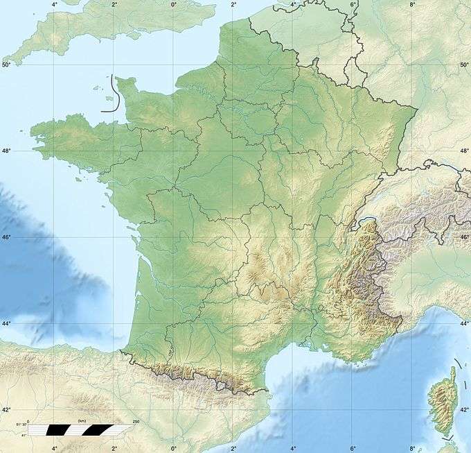 Mont Pelvoux France | |
| Location | Hautes-Alpes, France |
| Parent range | Dauphiné Alps |
| Climbing | |
| First ascent |
Pointe Durand: 30 July 1828 by Captain Durand, A. Liotard and J. E. Matheoud |
Mont Pelvoux (3,946 m) is a mountain in the Massif des Écrins in the French Alps.
For many years Mont Pelvoux was believed to be the highest mountain in the region since the higher Barre des Écrins cannot be seen from the Durance valley.
The highest point on the mountain is Pointe Puiseux. There are three subpeaks:
- Pointe Durand (3,932 m)
- Petit Pelvoux (3,753 m)
- Trois Dents du Pelvoux (3,682 m)
Ascents
The first ascent of Mont Pelvoux was by Captain Durand and the two chamois hunters Alexis Liotard and Jacques-Etienne Matheoud on July 30, 1828. This party returned, with more people, to the summit in 1830. Both times they climbed the "Pointe Durand".[2]
The highest point is named after the astronomer Victor Puiseux, who reached it first with his guide Pierre Antoine Barnéoud on August 9, 1848.[3] Barnéoud had been the third guide in the 1830 re-ascent.[2]
References
- ↑ "Mont Pelvoux - peakbagger". peakbagger.com. Retrieved 20 March 2015.
- 1 2 Guillaume Christian, La Première Ascension du Pelvoux en 1828
- ↑ W.A.B. Coolidge, Victor Puiseux et la Première Ascension du Mont Pelvoux, The Alpine Journal, Volume 19, 1898