Payakumbuh
| Kota Payakumbuh Payokumbuah | ||
|---|---|---|
| City | ||
| Other transcription(s) | ||
| • Jawi | ڤاياکومبوه | |
|
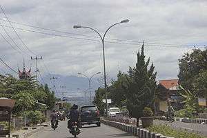
Streets of Payakumbuh | ||
| ||
 Location of Payakumbuh in Indonesia | ||
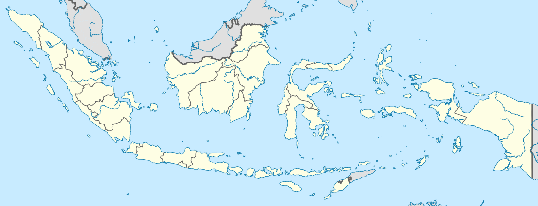 Kota Payakumbuh Location of Payakumbuh in Indonesia | ||
| Coordinates: 0°14′S 100°38′E / 0.233°S 100.633°E | ||
| Country | Indonesia | |
| Province | West Sumatra | |
| Government | ||
| Area | ||
| • Total | 80.43 km2 (31.05 sq mi) | |
| Population (2014[1]) | ||
| • Total | 122,896 | |
| • Density | 1,500/km2 (4,000/sq mi) | |
| Time zone | WIB (UTC+7) | |
| Area code(s) | +62 752 | |
| Climate | Af | |
| Website | www.payakumbuhkota.go.id | |


Payakumbuh (Indonesian: Kota Payakumbuh, Minangkabau: Payokumbuah, Jawi: ڤاياکومبوه) is the second largest city in West Sumatra, Indonesia, with a population of over 122,000 people and an area of 80.43 km². It is in the Minangkabau Highlands, 120 km by road from the West Sumatran capital city of Padang and 180 km from the Riau capital city of Pekanbaru. The whole area is directly adjacent to the Lima Puluh Kota Regency. It is located near the volcano Mount Merapi, Mount Sago, and Bukit Barisan. Payakumbuh means grassy swamp in the Minangkabau language.
In 2011, Payakumbuh was the cities with highest economic growth in West Sumatra. Innovations in the sanitation, waste management, healthy traditional markets, street vendors coaching, and urban drainage, deliver this city was awarded the "Urban Innovation Management" in 2012. In 2013, Payakumbuh received the "Adipura" ('cleanest city') award in the category of small city for the seventh time.
Payakumbuh is known for flying duck races, foods like batiah, small sweet rice cookies; gelamai, a sweet coconut palm sugared snack; and rendang. Payakumbuh produces a wide range of agriculture products including rice, milk, cattle and palm sugar.
Payakumbuh and surrounding villages, namely Mungka, Simalanggang and Batuhampar are origin of Negeri Sembilan people of Malaysia.[2] Literally translated, the city name means "grassy swamp". It suggests that the area was originally swampy.
Transportation

Payakumbuh is connected to Padang and Pekanbaru by road; a dysfunctional railway line also exists. For inner-city transport, Payakumbuh employs a public transportation system known as "Sago", taken from name of mountain in Payakumbuh. In addition to transport options within the city include bendi, a form of horse-cart.
Administration
The city administration is divided into 5 districts (kecamatan), 8 kanagarian, and 76 villages (kelurahan). A mayor (walikota) leads the city administration.
Administrative districts
- Payakumbuh Barat (West Payakumbuh)
- Payakumbah Selatan (South Payakumbuh)
- Payakumbuh Timur (East Payakumbuh)
- Payakumbuh Utara (North Payakumbuh)
- Payakumbuh Lamposi Tigo Nagori
Tourism
Payakumbuh is considered as one of the most popular cities in West Sumatra for domestic and foreign tourists. The varieties of food, the Muslim clothes stores, and natural scenery are some of the attractions of city. Attractions within and surrounding the city include:
- Harau Valley, a valley with big cliffs and beautiful waterfalls. With the rocky surface and dark brown color, these cliffs are like a giant wall. Lots of people do the rock climbing in this area.[3]
- Museum Rumah Kelahiran Tan Malaka (Museum of Tan Malaka Birthplace), the house where Indonesian founding father Tan Malaka was born.
- Ngalau Indah Caverns and Caves, the old caves with fantastic stalactite and stalagmite. There are great views back over Payakumbuh city and the surround.
- Kepala Bonda, beautiful spots which can be visited for bamboo rafting on the river
- Rumah Godang Sungai Baringin, a large beautiful rumah gadang located between rice fields
- Koto Nan Ampek Old Mosque, one of the oldest mosque in West Sumatra. A beautiful mosque with Minangkabau architecture.[4]
References
- ↑ djkd.depdagri.go.id
- ↑ Abdullah Siddik, Pengantar Undang-undang Adat di Malaysia, 1975
- ↑ Stephen Backshall, The Rough Guide to Indonesia, 2003
- ↑ Abdul Baqir Zein, Masjid-masjid Bersejarah di Indonesia, 1999
External links
- (Indonesian) Official website

Coordinates: 0°14′S 100°38′E / 0.233°S 100.633°E