Paulshof
| Paulshof | |
|---|---|
 Paulshof  Paulshof  Paulshof
| |
|
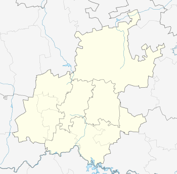
Location within Greater Johannesburg 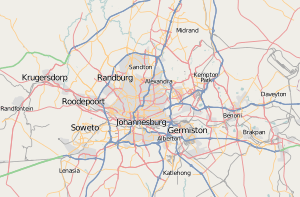 Paulshof | |
| Coordinates: 26°02′00″S 28°02′49″E / 26.03346°S 28.04701°ECoordinates: 26°02′00″S 28°02′49″E / 26.03346°S 28.04701°E | |
| Country | South Africa |
| Province | Gauteng |
| Municipality | City of Johannesburg |
| Main Place | Sandton |
| Area[1] | |
| • Total | 4.48 km2 (1.73 sq mi) |
| Population (2011)[1] | |
| • Total | 9,866 |
| • Density | 2,200/km2 (5,700/sq mi) |
| Racial makeup (2011)[1] | |
| • Black African | 28.1% |
| • Coloured | 3.1% |
| • Indian/Asian | 15.3% |
| • White | 51.9% |
| • Other | 1.6% |
| First languages (2011)[1] | |
| • English | 66.2% |
| • Afrikaans | 11.1% |
| • Zulu | 4.2% |
| • Sotho | 3.1% |
| • Other | 15.4% |
| Postal code (street) | 2191 |
| PO box | 2056 |
Paulshof is a suburb of Johannesburg, South Africa. It is located in Region 2 and Region 3.
The village of Paulshof is bounded by the Western Bypass on the South, Leeuwkop Estate on the North, Sunninghill on the East and Lone Hill on the West.
Paulshof is known as the "Garden Village of the North" by locals due to its proximity to green spaces such as the Rietfontein Nature Reserve.
Places of interest in the suburb include the Free Me wildlife rehabilitation centre, the German Country Club and the Rivonia Recreation & Sports Club.
References
- 1 2 3 4 "Sub Place Paulshof". Census 2011.
This article is issued from Wikipedia - version of the 5/18/2016. The text is available under the Creative Commons Attribution/Share Alike but additional terms may apply for the media files.