Pattishall
| Pattishall | |
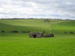 Fields between Pattishall and Bugbrooke |
|
 Pattishall |
|
| Population | 1,471 (2011 Census) |
|---|---|
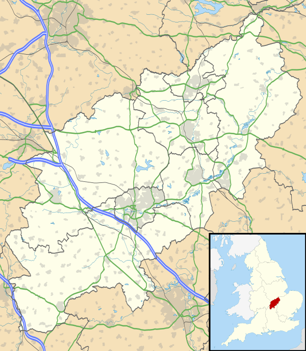
| OS grid reference | SP671542 |
| – London | 72 miles (116 km) |
| Civil parish | Pattishall |
| District | South Northamptonshire district |
| Shire county | Northamptonshire |
| Region | East Midlands |
| Country | England |
| Sovereign state | United Kingdom |
| Post town | TOWCESTER |
| Postcode district | NN12 |
| Dialling code | 01327 |
| Police | Northamptonshire |
| Fire | Northamptonshire |
| Ambulance | East Midlands |
| EU Parliament | East Midlands |
| UK Parliament | Daventry |
|
|
Coordinates: 52°10′57″N 1°01′09″W / 52.182421°N 1.019295°W
Pattishall, also known in antiquity as Pateshull,[1] is a village and Parish in South Northamptonshire, England. The population of the civil parish (including Astcote, Dalscote and Eastcote) was 1,471 at the 2011 census.[2] The village lies adjacent to the Roman road Watling Street (A5) and Banbury Lane, an ancient drove way, 4 miles north of Towcester and 7 miles south of Northampton.
The civil parish of Pattishall includes the villages of Pattishall, Eastcote, Astcote and Dalscote, part of Fosters Booth, and the hamlet of Cornhill. The 2001 census showed the parish population was 1,501 people (the 2010 estimated population is 1,573 of which 790 are in Pattishall, 462 in Astcote and 321 in Eastcote).[3]
Geography
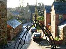
Pattishall is a small village located approximately 4.2 miles from Towcester, 8.3 miles from Wootton and 2.8 miles from Bugbrooke. Pattishall is surrounded by hilly fields and contains both 20th century housing and an older part of the village which is down a hill. The postcodes for the Towcester area begin NN12. In Pattishall there is one school, a Church of England primary school.
History
The name is derived from the Patishall family, three of whom were eminent judges during the 13th century, including one, Simon of Pattishall, who drafted Magna Carta. Host to a WW1 Prisoner of War CAMP 1914-18
Demography
The civil parish of Pattishall had a population of 1,501 people at the time of the 2001 census,[4] including a Christian community of around 50 people, part of the evangelical Christian group, the Jesus Army.
Landmarks
Pattishall includes a church, park and a working farm.
References
- ↑ GB Historical GIS / University of Portsmouth, History of Pattishall in South Northamptonshire | Map and description, A Vision of Britain through Time., quoting John Marius Wilson's Imperial Gazetteer of England and Wales (1870-72).
- ↑ "Civil Parish population 2011". Neighbourhood Statistics. Office for National Statistics. Retrieved 27 June 2016.
- ↑ SNC (2010). South Northamptonshire Council Year Book 2010-2011. Towcester NN12 7FA. p. 39.
- ↑ Office for National Statistics: Pattishall CP: Parish headcounts. Retrieved 15 November 2009
External links
| Wikimedia Commons has media related to Pattishall. |
- Pattishall Parish website
- UK Villages: Pattishall
- Pattishall CE Primary School
- Pattishall Holy Cross Church