Paremoremo
| Paremoremo | |
|---|---|
 Paremoremo | |
| Coordinates: 36°45′16″S 174°38′54″E / 36.75444°S 174.64833°E | |
| Country | New Zealand |
| Region | Auckland Region |
| District | North Shore City |
| Population (2006) | |
| • Total | 2,193 |
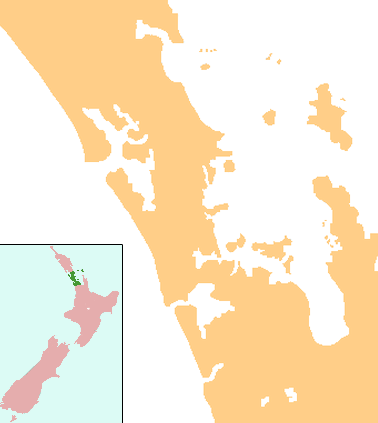
Paremoremo is a largely rural locality about 8 km (5 miles) southwest of Albany on the northern fringe of Auckland, New Zealand. Coatesville is about 7 km to the north, and Riverhead is about 8 km to the west.[1][2]
The population was 2,193 in the 2006 Census, an increase of 102 from 2001.[3]
Parks and reserves
Paremoremo Scenic Reserve is a block of land north of the Paremoremo residential area. It is the largest bush reserve in the North Shore District and is a site of ecological significance.[4]
A 40-hectare (99-acre) block of land south of the prison was bought by North Shore City for NZ$3.1 million in February 2002, to be developed as Sanders Park. Recently though a small mountain biking track with small ramps and high-camber corners has been built. Also at Sanders Reserve are two small beaches with good swimming areas. People have been known to camp on the grass areas around the beach.[5]
History
Paremoremo was originally a small community on the Upper Waitemata Harbour which saw European settlement grow following the construction of a wharf at the foot of Attwood Road. In the early 19th century it was known for its farms, market gardens and orchards. Passengers and cargo travelled to the city by the launches and small ferries of the period.
In the mid 1960s it became the home of Auckland Prison, New Zealand's main maximum security prison.[6]
A village of 130 houses was built by the New Zealand Department of Justice to house prison workers,[7] but in 1996 30 of the houses were sold after battles in the New Zealand Employment Court and Court of Appeal.[8][9]
Education
Ridgeview School is a coeducational contributing primary (years 1-6) school with a decile rating of 10 and a roll of 93.[10] The school opened in 1923 as Paremoremo School,[11] and changed its name to Ridgeview in 2000.[12]
Notes
- ↑ Peter Dowling (editor) (2004). Reed New Zealand Atlas. Reed Books. Map 11. ISBN 0-7900-0952-8.
- ↑ Roger Smith, GeographX (2005). The Geographic Atlas of New Zealand. Robbie Burton. Map 34. ISBN 1-877333-20-4.
- ↑ The population given is for the Paremoremo East statistical area, part of North Shore City. There is an adjacent Paremoremo West area, with a population of 666 in 2006, which is part of the Rodney District. Quickstats about Paremoremo East
- ↑ "Proposed Plan Change 28 – Zoning of Reserves" (PDF). North Shore City Council. 7 October 2008. p. 7.
- ↑ "Sheep where the Lambs once were". North Shore Times Advertiser. 11 October 2002. p. 3.
- ↑ "Sanctions Available to the Courts". Encyclopaedia of New Zealand (1966).
- ↑ "Paremoremo Village; where families live in fear of the prison siren". Weekly News. 2 November 1970. pp. 3–5.
- ↑ "Prison officers pin hopes on Privy Council". North Harbour News. 4 July 1996. p. 1.
- ↑ "Prison staff uneasy about house decision". North Harbour News. 20 March 1997. p. 1.
- ↑ Te Kete Ipurangi schools database: Ridgeview School
- ↑ "PAREMOREMO SCHOOL (BBMD)". Archives New Zealand. Retrieved 2009-02-04.
- ↑ "Paremoremo School getting a new image". North Shore Times Advertiser. 18 July 2000. p. 18.
External links
Coordinates: 36°45′16″S 174°38′54″E / 36.75444°S 174.64833°E