Panguru
| Panguru | |
|---|---|
 Panguru | |
| Coordinates: 35°22′40″S 173°22′56″E / 35.37778°S 173.38222°E | |
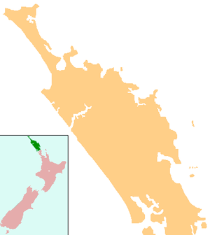
| Country | New Zealand |
| Region | Northland Region |
| District | Far North District |
Panguru is a community in the northern Hokianga harbour, in Northland, New Zealand. The Whakarapa Stream flows from the Panguru Range in the Warawara Forest to the west, through Panguru and into the Hokianga.[1][2] It began as a Catholic settlement.[3]
Notable people
- Dame Whina Cooper moved to Panguru in 1983, and remained until her death in 1994.
- Adam Blair is a New Zealand professional rugby league footballer for the Melbourne Storm of the National Rugby League.
Education
Te Kura Taumata o Panguru is a coeducational composite (years 1-15) school with a decile rating of 2 and a roll of 86.[4] It was the smallest high school in New Zealand at the time of its establishment in 1964.[5]
Coordinates: 35°22′40″S 173°22′56″E / 35.37778°S 173.38222°E
Notes
- ↑ Peter Dowling (editor) (2004). Reed New Zealand Atlas. Reed Books. pp. map 3. ISBN 0-7900-0952-8.
- ↑ Roger Smith, GeographX (2005). The Geographic Atlas of New Zealand. Robbie Burton. pp. map 22. ISBN 1-877333-20-4.
- ↑ "Hokianga district". Te Ara Encyclopedia of New Zealand.
- ↑ "Te Kete Ipurangi". Ministry of Education.
- ↑ "Te Kura Taumata O Panguru".
External links
This article is issued from Wikipedia - version of the 8/29/2016. The text is available under the Creative Commons Attribution/Share Alike but additional terms may apply for the media files.