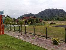
Pangkor Airport
| Pangkor Airport Lapangan Terbang Pangkor | |||||||||||
|---|---|---|---|---|---|---|---|---|---|---|---|
 | |||||||||||
 | |||||||||||
| IATA: PKG[1] – ICAO: WMPA | |||||||||||
| Summary | |||||||||||
| Airport type | Public | ||||||||||
| Owner | Government of Malaysia | ||||||||||
| Operator | Malaysia Airports Berhad | ||||||||||
| Serves | Pangkor, Perak, Malaysia | ||||||||||
| Location | Pangkor Island, Perak, West Malaysia | ||||||||||
| Time zone | MST (UTC+08:00) | ||||||||||
| Elevation AMSL | 19 ft / 6 m | ||||||||||
| Coordinates | 04°14′41″N 100°33′12″E / 4.24472°N 100.55333°ECoordinates: 04°14′41″N 100°33′12″E / 4.24472°N 100.55333°E | ||||||||||
| Map | |||||||||||
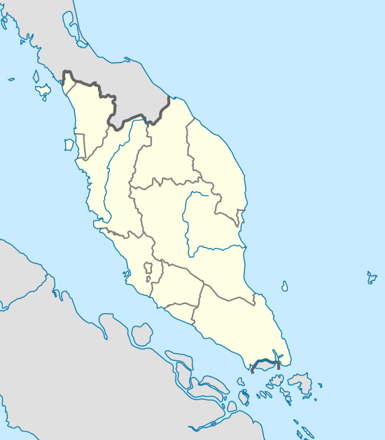 WMPA Location in West Malaysia | |||||||||||
| Runways | |||||||||||
| |||||||||||
| Statistics (2012) | |||||||||||
| |||||||||||
Pangkor Airport (IATA: PKG, ICAO: WMPA) is an airport on Pangkor Island (Pulau Pangkor), located off the coast of Perak in northwest peninsular Malaysia.
Traffic and statistics
| |
handled |
% Change |
Movements |
% Change |
|---|---|---|---|---|
| 2003 | 6,095 | 657 | ||
| 2004 | 10,247 | 698 | ||
| 2005 | 11,193 | 752 | ||
| 2006 | 9,866 | 541 | ||
| 2007 | 8,906 | 589 | ||
| 2008 | 8,132 | 545 | ||
| 2009 | 7,617 | 502 | ||
| 2010 | 2,588 | 174 | ||
| 2011 | 547 | 32 | ||
| 2012 | 4,068 | 324 |
| Rank | Destinations | Frequency (Weekly)| |
|---|
See also
References
- ↑ Airport information for PKG at Great Circle Mapper.
- ↑ AIP Malaysia: Index to Aerodromes at Department of Civil Aviation Malaysia
- ↑ "MAHB Annual Report 2012" (PDF). MAHB. Retrieved 6 September 2013.
External links
| Wikimedia Commons has media related to Pangkor Airport. |
- Short Take-Off and Landing Airports (STOL) at Malaysia Airports Holdings Berhad
- Aviation Photos: Pangkor Island (PKG / WMPA) at Airliners.net
- Accident history for PKG at Aviation Safety Network
This article is issued from Wikipedia - version of the 12/4/2016. The text is available under the Creative Commons Attribution/Share Alike but additional terms may apply for the media files.