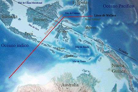
Panbiogeography
Panbiogeography, originally proposed by the French-Italian scholar Léon Croizat (1894–1982),[1][2] is a cartographic approach to biogeography that basically plots distributions of a particular taxon or group of taxa on maps and connects the disjunct distribution areas or collection localities together with lines called tracks.
Tracks

A track is a representation of the spatial form of a species distribution and can give insights into the spatial processes that generated that distribution. Crossing of an ocean or sea basin or any other major tectonic structure (e.g. a fault zone) by an individual track constitutes a baseline.
Individual tracks are superimposed, and if they coincide according to a specified criterion (e.g. shared baselines or compatible track geometries), the resulting summary lines are considered generalized (or standard) tracks. Generalized tracks suggest the pre-existence of ancestral biotas, which subsequently become fragmented by tectonic and/or climate change. The area where two or more generalized tracks intersect is called node. It means that different ancestral biotic and geological fragments interrelate in space/time, as a consequence of terrain collision, docking, or suturing, thus constituting a composite area. A concentration of numerical, genetical or morphological diversity within a taxon in a given area constitutes a main massing.
Over the last two decades, panbiogeography as first conceived by Croizat[3][4] and further developed by researchers in New Zealand and Latin America[5] became established as a productive research programme in historical biogeography. Panbiogeography provides a method for analyzing the geographic (spatial) structure of distributions in order to generate predictions about the evolution of species and other taxa in space and time.
Panbiogeographic key concepts of track, node, baseline, and main massing have shown to be powerful analytical tools, especially following the mathematical formalization of these concepts with the development of quantitative panbiogeography.[6] Such developments were based on the application of concepts and methods from graph theory, for example minimum spanning trees to depict individual tracks in a more rigorous way, clique analysis to identify standard tracks, and nodal analysis to determine the precise location of panbiogeographic nodes.
Panbiogeography emphasizes the analysis of raw locality and broader distribution data for taxa and may thus benefit from modern technological advances for the collection, storage, and analysis of such data as online biodiversity databases of georeferenced records,[lower-alpha 1] the Global Positioning System (GPS) and Geographic Information Systems (GIS). technology. Furthermore, besides its academic interest and scientific relevance as a method for the analysis of earth/life historical relationships, panbiogeographic concepts may also be useful to address the critical issue of global biodiversity conservation in a potentially fast and cost-effective way.[6]
Notes
References
- ↑ Croizat, L. (1958). Panbiogeography. Caracas: Published by the author.
- ↑ Croizat, L. (1964). Space, Time, Form: The Biological Synthesis. Caracas: Published by the author.
- ↑ Croizat (1958)
- ↑ Croizat (1964)
- ↑ Craw, R.C., Grehan, J.R. & Heads, M.J. (1999). Panbiogeography: Tracking the History of Life. Oxford University Press, New York.
- 1 2 Craw et al. (1999)
Further reading
- Nelson, G. (1973). Comments on Leon Croizat's Biogeography. Systematic Zoology. Vol. 22, No. 3. pp. 312–320.
External links
 | ||