Pampilhosa da Serra
| Pampilhosa da Serra | |||
|---|---|---|---|
| Municipality | |||
| |||
 | |||
| Coordinates: 40°03′N 7°57′W / 40.050°N 7.950°WCoordinates: 40°03′N 7°57′W / 40.050°N 7.950°W | |||
| Country |
| ||
| Region | Centro | ||
| Subregion | Pinhal Interior Norte | ||
| Intermunic. comm. | Região de Coimbra | ||
| District | Coimbra | ||
| Parishes | 8 | ||
| Area | |||
| • Total | 396.46 km2 (153.07 sq mi) | ||
| Population (2011) | |||
| • Total | 4,481 | ||
| • Density | 11/km2 (29/sq mi) | ||
| Time zone | WET/WEST (UTC+0/+1) | ||
| Website |
www | ||


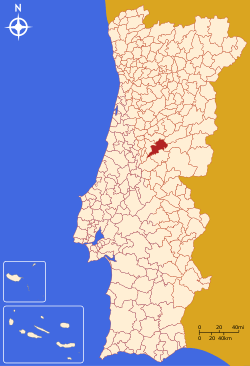
Pampilhosa da Serra (Portuguese pronunciation: [pɐ̃piˈʎɔzɐ ðɐ ˈsɛʁɐ]) is a town and a municipality in the Coimbra District, in Portugal. The population in 2011 was 4,481,[1] in an area of 396.46 km².[2]
Parishes
Administratively, the municipality is divided into 8 civil parishes (freguesias):[3]
- Cabril
- Dornelas do Zêzere
- Fajão - Vidual
- Janeiro de Baixo
- Pampilhosa da Serra
- Pessegueiro
- Portela do Fojo - Machio
- Unhais-o-Velho
References
- ↑ Instituto Nacional de Estatística
- ↑ Direção-Geral do Território
- ↑ Diário da República. "Law nr. 11-A/2013, page 552 88" (pdf) (in Portuguese). Retrieved 29 July 2014.
This article is issued from Wikipedia - version of the 1/25/2016. The text is available under the Creative Commons Attribution/Share Alike but additional terms may apply for the media files.