Pamekasan Regency
| Pamekasan (Kabupaten Pamekasan) | |
|---|---|
| Regency | |
|
Aerial photo of Sendang near Pamekasan | |
| Motto: Madu Ganda Mangesti Tunggal / Mekkas Jatna Paksa Jenneng Dibi'(tempeng pote matah ngo' poteh tolang | |
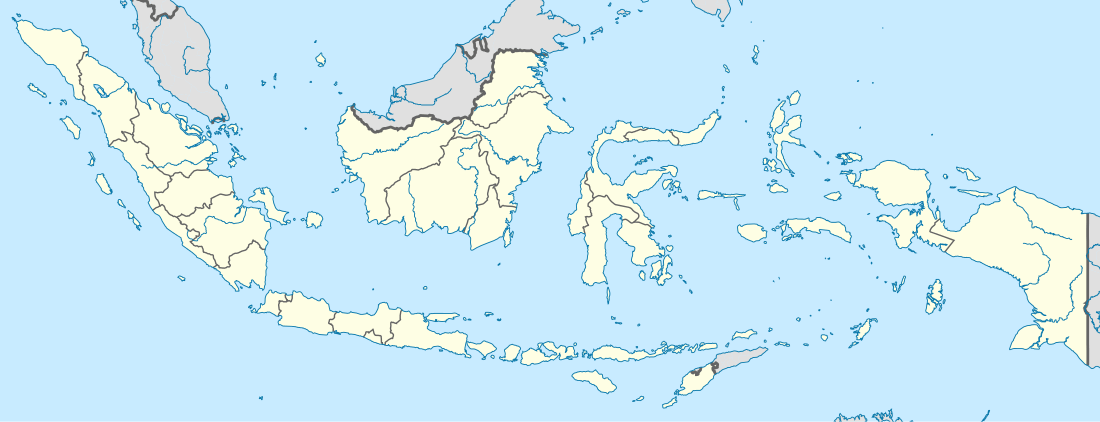 Pamekasan Location in Indonesia | |
| Coordinates: 7°10′S 113°28′E / 7.167°S 113.467°ECoordinates: 7°10′S 113°28′E / 7.167°S 113.467°E | |
| Country |
|
| Province | East Java |
| Area | |
| • Total | 792.24 km2 (305.89 sq mi) |
| Population (2014) | |
| • Total | 818,283 |
| • Density | 1,000/km2 (2,700/sq mi) |
| Website | www.pamekasan.info |

Pamekasan Regency is a regency (kabupaten) of the province of East Java, Indonesia. It is located on Madura Island approximately 120 km east of Surabaya, the provincial capital.
The regency covers an area of 792.24 km2, and at the 2010 Census it had a population of 795,918 (an increase from 689,225 at the previous Census in 2000); the latest official estimate (as at January 2014) is 818,283.
Neighbouring Regencies
Pamekasan Regency is bordered on the east by Sumenep Regency, on the north by the Java Sea, on the west by Sampang Regency, and on the south by the Madura Strait (separating Madura from the island of Java).
Administrative Districts
Pamekasan Regency consists of thirteen districts (kecamatan), tabulated below with their populations at the 2010 Census:[1]
|
|
|
Demographics
The population comprises Madurese, Javanese, and Chinese Indonesians.
Economy
One of the famous produces from this region is Batik Pamekasan.
References
- ↑ Biro Pusat Statistik, Jakarta, 2011.