Pallahara
| Pal Lahara | |
|---|---|
| Town | |
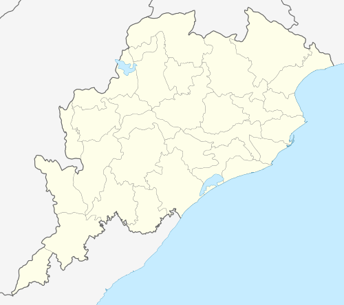 Pal Lahara  Pal Lahara Location in Odisha | |
| Coordinates: 21°27′N 85°11′E / 21.450°N 85.183°ECoordinates: 21°27′N 85°11′E / 21.450°N 85.183°E | |
| Country |
|
| State | Odisha |
| District | Angul |
| Languages | |
| • Official | Odia |
| Time zone | IST (UTC5:30) |
| Vehicle registration | OD-35 (RTO Talcher) |
Pal Lahara is a small town in Angul district of the state of Odisha and located on NH6, where it intersects with NH23, 91 kilometres (57 mi) by road north of Angul.[1] Not far from the banks of the Rengali Reservoir which is to the west, the Malayagiri Forest Range is to the southeast.[1] Pallahara is one of the subdivisional headquarters in Angul district.
History
Main article: Pal Lahara State
Pal Lahara was a relatively large princely state at one time until its territory began to decline.[2]
The forests in the area were traditionally rich in bamboo and the local Juang people are adept at basketry.[3]
References
- 1 2 Maps (Map). Google Maps.
- ↑ India. Foreign and Political Dept (1930). A collection of treaties, engagements and sanads relating to India and neighbouring countries. Government of India Central Publication Branch. p. 340. Retrieved 26 October 2012.
- ↑ Patnaik, Nihar Ranjan (1997). Economic History of Odisha. Indus Publishing. p. 373. ISBN 978-81-7387-075-0. Retrieved 26 October 2012.
External links
This article is issued from Wikipedia - version of the 10/5/2016. The text is available under the Creative Commons Attribution/Share Alike but additional terms may apply for the media files.