Paix Bouche
Coordinates: 15°35′30″N 61°24′40″W / 15.59167°N 61.41111°W
| Paix Bouche | |
|---|---|
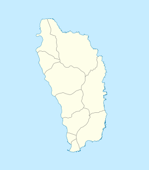 Paix Bouche Location in Dominica | |
| Coordinates: 15°35′30″N 61°24′40″W / 15.59167°N 61.41111°W | |
| Country |
|
| Parish | Saint Andrew Parish |
| Population (2001) | |
| • Total | 306 |
| Time zone | UTC (UTC-4) |
Paix Bouche is a village in northern Dominica. It has a population of 306,[1] and has one of the island's steepest roads.[2] The name comes from the local Creole expression meaning "shut your mouth".[2]
References
- ↑ Commonwealth of Dominica, Population and Housing Census — 2001. Roseau, Dominica: Central Statistical Office, Ministry of Finance and Planning, Kennedy Avenue, 2001.
- 1 2 Entry for Paix Bouche in the Dominica Heritage Dictionary by Lennox Honychurch. Retrieved November 22, 2006.
For the definition of town, village, etc see Settlements in Dominica. | |
| Towns |
|
| Villages |
|
This article is issued from Wikipedia - version of the 3/16/2013. The text is available under the Creative Commons Attribution/Share Alike but additional terms may apply for the media files.