Otoka, Sarajevo
| Otoka | |
|---|---|
 | |
 Otoka | |
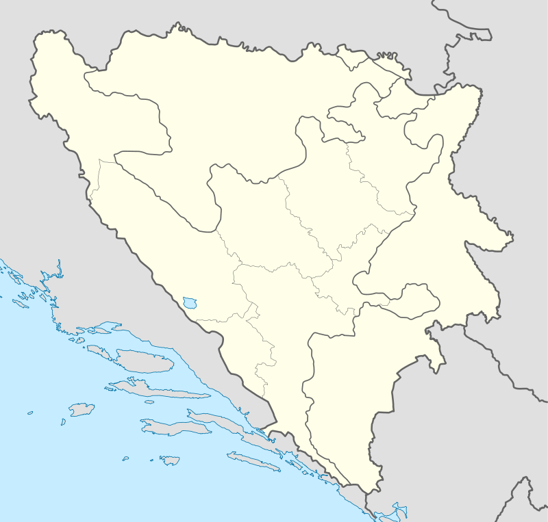
| Coordinates: BA 43°50′42″N 18°21′27″E / 43.84500°N 18.35750°E | |
| Country |
|
| Entity | Federation of Bosnia and Herzegovina |
| Time zone | CET (UTC+1) |
| • Summer (DST) | CEST (UTC+2) |
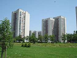
Otoka is a part of Novi Grad, Sarajevo, Bosnia and Herzegovina, located within the Bosnian Federation. It shares borders with the following neighborhoods: Čengić vila (East side), Aneks (South-East side), Švrakino Selo (South side). Its residential core represents a chain of high-rise buildings (Streets: Žrtava Fašizma, Brčanska, Aleja Lipa).
| History of Sarajevo |  | |
|---|---|---|
| Municipalities and neighborhoods |
Neighborhoods: Alipašino polje, Babića bašća, Baščaršija, Čengić vila, Dobrinja, Grbavica, Hrasno, Mejtaš, Marijin dvor, Otoka | |
| Buildings and landmarks |
| |
| Places of worship | ||
| Culture | ||
| Galleries and museums | ||
| Education | ||
| Sports venues |
| |
| Transport | ||
| Events | ||
Coordinates: 43°50′42″N 18°21′27″E / 43.84500°N 18.35750°E
This article is issued from Wikipedia - version of the 8/21/2015. The text is available under the Creative Commons Attribution/Share Alike but additional terms may apply for the media files.