Otjiwarongo Airport
| Otjiwarongo Airport | |||||||||||
|---|---|---|---|---|---|---|---|---|---|---|---|
| IATA: OTJ – ICAO: FYOW | |||||||||||
| Summary | |||||||||||
| Airport type | Public | ||||||||||
| Serves | Otjiwarongo | ||||||||||
| Elevation AMSL | 4,840 ft / 1,475 m | ||||||||||
| Coordinates | 20°25′50″S 16°39′45″E / 20.43056°S 16.66250°ECoordinates: 20°25′50″S 16°39′45″E / 20.43056°S 16.66250°E | ||||||||||
| Map | |||||||||||
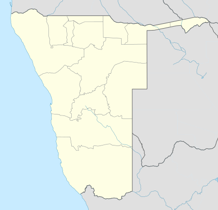 Otjiwarongo Location of the airport in Namibia | |||||||||||
| Runways | |||||||||||
| |||||||||||
Otjiwarongo Airport (IATA: OTJ, ICAO: FYOW) is an airport serving Otjiwarongo, in the Otjozondjupa Region of Namibia.
The Otjiwarongo non-directional beacon (Ident: OW) is near the in-town location of the former Otjiwarongo Center Airport (closed), 3.8 kilometres (2.4 mi) southwest of the current airport.[3][4]
See also
 Aviation portal
 Namibia portal
- List of airports in Namibia
- Transport in Namibia
References
- ↑ Airport information for FYOW at Great Circle Mapper.
- ↑ Google Maps - Otjiwarongo
- ↑ OW NDB
- ↑ Otjiwarongo NDB
External links
This article is issued from Wikipedia - version of the 12/5/2016. The text is available under the Creative Commons Attribution/Share Alike but additional terms may apply for the media files.