Otaika
| Otaika | |
|---|---|
 Otaika | |
| Coordinates: 35°47′13″S 174°18′20″E / 35.78694°S 174.30556°ECoordinates: 35°47′13″S 174°18′20″E / 35.78694°S 174.30556°E | |
| Country | New Zealand |
| Region | Northland Region |
| District | Whangarei District |
| Population (2006) | |
| • Total | 993 |
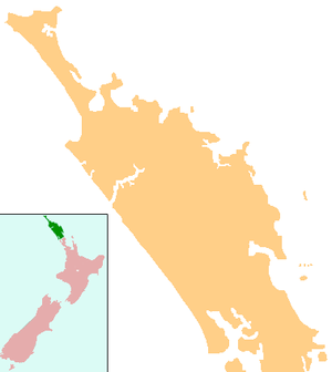
Otaika is a locality in Northland, New Zealand. Whangarei is 7 km to the north. The Otaika Stream runs from the north west, through the area, and into the Whangarei Harbour. State Highway 1 runs through the locality. The hill Tikorangi (with a summit 161 m above sea level) lies to the South. Tikorangi is a source of limestone for Portland Cement.[1][2][3]
The population of the Otaika-Portland area was 993 in the 2006 Census, an increase of 18 from 2001.[4]
History
In the 1830s, Okaika was a Māori village of Te Parawhau hapū. Tiakiriri was the chief.[5] The first Pakeha settlers were Frederick and George Taylor, who were living at Otaika by 1856.[3] More Pākehā settled further up the Okaika Valley around this time. George Edge's wandering geese were sometimes eaten by locals, leading to a nickname for the valley of "Kai-goose".[6]
Education
Otaika Valley School is a coeducational contributing primary (years 1-6) school with a decile rating of 4 and a roll of 110.[7]
References
- ↑ Peter Dowling (editor) (2004). Reed New Zealand Atlas. Reed Books. pp. map 7. ISBN 0-7900-0952-8.
- ↑ Roger Smith, GeographX (2005). The Geographic Atlas of New Zealand. Robbie Burton. pp. map 27. ISBN 1-877333-20-4.
- 1 2 Pickmere, Nancy Preece (1986). Whangarei: The Founding Years. p. 65.
- ↑ Quickstats about Otaika-Portland
- ↑ Pickmere, p 14
- ↑ Pickmere, pp 65-66
- ↑ Te Kete Ipurangi schools database: Otaika Valley School