Otú Airport
| Otú Airport Aeropuerto de Otú | |||||||||||
|---|---|---|---|---|---|---|---|---|---|---|---|
| IATA: OTU – ICAO: SKOT | |||||||||||
| Summary | |||||||||||
| Airport type | Public | ||||||||||
| Owner | Aerocivil | ||||||||||
| Serves | Remedios, Colombia | ||||||||||
| Location | Otú, Colombia | ||||||||||
| Elevation AMSL | 628 m / 2,060 ft | ||||||||||
| Coordinates | 07°00′43″N 074°42′57″W / 7.01194°N 74.71583°WCoordinates: 07°00′43″N 074°42′57″W / 7.01194°N 74.71583°W | ||||||||||
| Map | |||||||||||
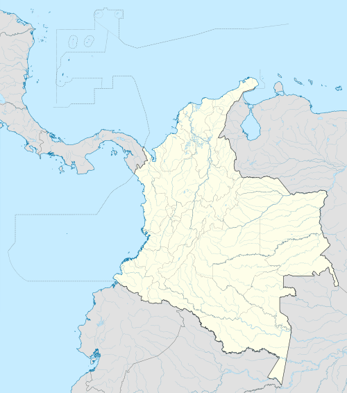 OTU Location of the airport in Colombia | |||||||||||
| Runways | |||||||||||
| |||||||||||
| Statistics (2007) | |||||||||||
| |||||||||||
Otú Airport (Spanish: Aeropuerto de Otú) (IATA: OTU, ICAO: SKOT) is an airport located in the village of Otú and serving the town of Remedios, a municipality of the Antioquia Department in Colombia. It is also known as Alberto Jaramillo Sanchez Airport.
Currently only Aerolínea de Antioquia operates from this airport, with two daily flights on Twin Otter aircraft to Enrique Olaya Herrera Airport in Medellín. Previously, the airline ACES flew between this airport and Medellin several times per day on aircraft including the Let L-410 Turbolet, Cessna 206 and Twin Otter. The airport's runway is also used as a small military base for the Air Force and National Police.
Facilities
The airport resides at an elevation of 2,060 feet (628 m) above mean sea level. It has one runway designated 16/34 with an asphalt surface measuring 3,103 by 50 feet (946 m × 15 m).[1]
Airlines and destinations
| Airlines | Destinations |
|---|---|
| Aerolínea de Antioquia | Medellín-Olaya Herrera |
References
- 1 2 Airport information for SKOT from DAFIF (effective October 2006)
- ↑ Airport information for OTU at Great Circle Mapper. Source: DAFIF (effective October 2006).