Osicala
| Osicala | |
|---|---|
| Municipality | |
 | |
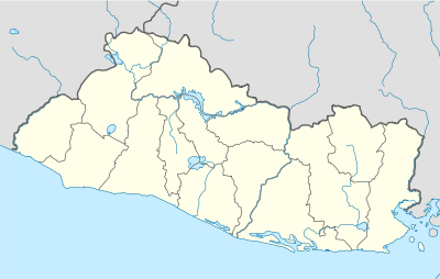 Osicala Location in El Salvador | |
| Coordinates: 13°48′N 88°09′W / 13.800°N 88.150°W | |
| Country |
|
| Department | Morazán Department |
| Area | |
| • Total | 18.17 sq mi (47.05 km2) |
| Elevation | 1,693 ft (516 m) |
| Population | |
| • Total | 10,327 |
Osicala is a city in the Department of Morazan, Republic of El Salvador.
Origin is 184 km (114 mi) from the capital, San Salvador. Located on one of the hills north of Cerro Cacahuatique (Cacahuatique Mount). Limits to the north with Meanguera, south-east with Delicias de Concepción and west with Gualococti. Climate: Due to its location above the sea level, this City has a fresh temperature (15-20°C, 59°F - 68°F) during most of the year.
Major Source of Income
People there are dedicated to agriculture. Over the land they grow corn, agave and coffee. Some fruit trees like mangoes, bananas, oranges and limes are also grown.
Rivers
- Torola,
- Osicala and
- Quebrada Honda.
Capital: San Francisco Gotera | ||
| Municipalities |  | |
Coordinates: 13°48′N 88°09′W / 13.800°N 88.150°W
This article is issued from Wikipedia - version of the 3/2/2013. The text is available under the Creative Commons Attribution/Share Alike but additional terms may apply for the media files.