Orocue Airport
| Orocue Airport | |||||||||||
|---|---|---|---|---|---|---|---|---|---|---|---|
| IATA: ORC – ICAO: SKOE | |||||||||||
| Summary | |||||||||||
| Airport type | Public | ||||||||||
| Serves | Orocue, Colombia | ||||||||||
| Coordinates | 04°47′23″N 071°20′54″W / 4.78972°N 71.34833°W | ||||||||||
| Map | |||||||||||
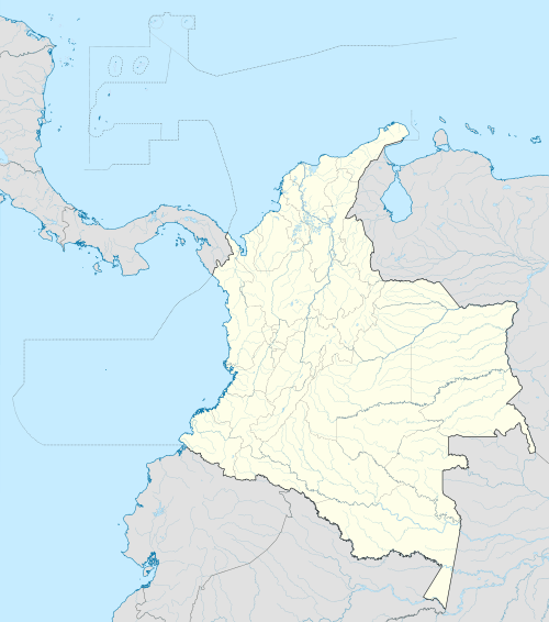 Orocue Location of airport in Colombia | |||||||||||
| Runways | |||||||||||
| |||||||||||
Orocue Airport (IATA: ORC, ICAO: SKOE) is an airport serving Orocue,[1] a town and municipality in the department of Casanare in Colombia.
The airport has one runway which is approximately 1,500 metres (4,921 ft) in length.[3]
References
- 1 2 Airport information for Orocue, Colombia (SKOE / ORC) at Great Circle Mapper.
- ↑ Orocue Airport (SKOE / ORC) at WikiMapia
- ↑ Aerial image showing length of runway
External links
This article is issued from Wikipedia - version of the 11/27/2016. The text is available under the Creative Commons Attribution/Share Alike but additional terms may apply for the media files.