Oranga
| Oranga | |
|---|---|
| Basic information | |
| Local authority | Auckland Council |
| Electoral ward | Maungakiekie-Tamaki |
| Local board | Maungakiekie-Tamaki |
| Board subdivision | Maungakiekie |
| Surrounds | |
| North | Greenlane |
| Northeast | Ellerslie |
| East | Penrose |
| Southeast | Te Papapa |
| South | Onehunga |
| Southwest | Onehunga |
| West | Royal Oak |
| Northwest | One Tree Hill |
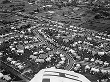
Oranga is a small residential suburb in Auckland, New Zealand. It is located nine kilometres to the southeast of the city centre, between the commercial suburbs of Te Papapa and Penrose to the south and east, and the residential suburbs of One Tree Hill and Onehunga to the north and south. The name is from the Maori noun oranga, meaning 'survivor, food, livelihood, welfare, health, living'.[1]
It used to be a state housing neighbourhood for low-income families, but it is rapidly gentrifying. Private investors have bought many of the state houses for renovation, and to subdivide their generous sections. Real estate agents increasingly advertise these houses as belonging to the wealthier suburb of One Tree Hill.
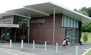
Local facilities include Oranga Kindergarten (neighbouring Fergusson Domain), and Oranga Primary School.[2] The local secondary schools are One Tree Hill College, Marcellin College and Onehunga High School.
References
Coordinates: 36°54′41″S 174°48′09″E / 36.911505°S 174.802473°E