Ophirton
| Ophirton | |
|---|---|
 Ophirton  Ophirton  Ophirton
| |
|
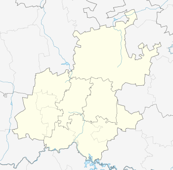
Location within Greater Johannesburg 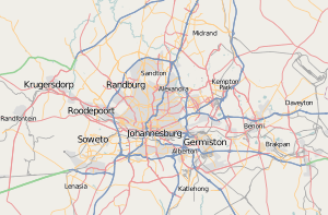 Ophirton | |
| Coordinates: 26°13′30″S 28°01′34″E / 26.225°S 28.026°ECoordinates: 26°13′30″S 28°01′34″E / 26.225°S 28.026°E | |
| Country | South Africa |
| Province | Gauteng |
| Municipality | City of Johannesburg |
| Main Place | Johannesburg |
| Area[1] | |
| • Total | 0.94 km2 (0.36 sq mi) |
| Population (2011)[1] | |
| • Total | 506 |
| • Density | 540/km2 (1,400/sq mi) |
| Racial makeup (2011)[1] | |
| • Black African | 67.6% |
| • Coloured | 3.4% |
| • Indian/Asian | 25.7% |
| • White | 1.8% |
| • Other | 1.6% |
| First languages (2011)[1] | |
| • English | 30.4% |
| • Zulu | 19.3% |
| • Xhosa | 9.7% |
| • Northern Sotho | 7.2% |
| • Other | 33.5% |
| Postal code (street) | 2091 |
Ophirton is a suburb of Johannesburg, South Africa. This industrial suburb lies three kilometers to south-west of the Johannesburg CBD. It is located in Region 9.
History
Ophirton has it origin in 1888, not long after the creation of Johannesburg in 1886.[2]:154 It has its origins as a dusty residential suburb, that was surrounded by mine dumps, and occupied by the poorer classes.[2]:154 Chandler's Brewery was one of the early industrial business' in the suburb.[2]:154 Nowadays the suburb is mostly industrial but a few old residential houses remain.
References
- 1 2 3 4 "Sub Place Ophirton". Census 2011.
- 1 2 3 Leyds, Gerald Anton (1964). A History of Johannesburg: The Early Years. Nasional Boekhandel. p. 318.
This article is issued from Wikipedia - version of the 5/1/2016. The text is available under the Creative Commons Attribution/Share Alike but additional terms may apply for the media files.