Omuthiya
| Omuthiya | |
|---|---|
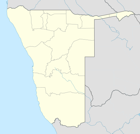 Omuthiya Location in Namibia | |
| Coordinates: 18°21.636′S 16°34.874′E / 18.360600°S 16.581233°E | |
| Country |
|
| Region | Oshikoto Region |
| Constituency | Omuthiyagwiipundi |
| Elevation | 3,540 ft (1,079 m) |
| Population (2011)[1] | |
| • Total | 3,794 |
| Time zone | South African Standard Time (UTC+1) |
| Climate | BSh |
Omuthiya Gwiipundi (short: Omuthiya) is the capital of Oshikoto Region in northern Namibia, situated approximately 10 kilometres (6.2 mi) from Etosha National Park. It has about 5,000 residents.[2] Prior to Omuthiya, Tsumeb was the regional capital.[3]
Local authority elections
Omuthiya is governed by a town council that currently has seven seats.[4]
In February 2008, the town was the center of an election controversy as the ruling SWAPO faced the Rally for Democracy and Progress in the town's first local authority election. [5]
In 2010, SWAPO won Omuthiya with approximately 92% of the votes.[6]
References
- ↑ "Table 4.2.2 Urban population by Census years (2001 and 2011)" (PDF). Namibia 2011 - Population and Housing Census Main Report. Namibia Statistics Agency. p. 39. Retrieved 24 August 2016.
- ↑ Heita, Desie (31 October 2011). "Omuthiya growing at a fast pace". New Era. Archived from the original on 27 May 2012.
- ↑ Shivute, Oswald (21 August 2008). "Oshikoto Regional Council moves to Omuthiya". The Namibian.
- ↑ "Know Your Local Authority". Election Watch (3). Institute for Public Policy Research. 2015. p. 4.
- ↑ Battlefield Omuthiya The Namibian, 28 February 2008
- ↑ Omuthiya Local Authority Electoral Commission of Namibia
Coordinates: 18°21.636′S 16°34.874′E / 18.360600°S 16.581233°E
This article is issued from Wikipedia - version of the 9/10/2016. The text is available under the Creative Commons Attribution/Share Alike but additional terms may apply for the media files.