Olavarría Airport
| Olavarría Airport | |||||||||||||||
|---|---|---|---|---|---|---|---|---|---|---|---|---|---|---|---|
| IATA: OVR – ICAO: SAZF | |||||||||||||||
| Summary | |||||||||||||||
| Airport type | Public | ||||||||||||||
| Serves | Olavarría | ||||||||||||||
| Elevation AMSL | 551 ft / 168 m | ||||||||||||||
| Coordinates | 36°53′24″S 60°13′00″W / 36.89000°S 60.21667°WCoordinates: 36°53′24″S 60°13′00″W / 36.89000°S 60.21667°W | ||||||||||||||
| Map | |||||||||||||||
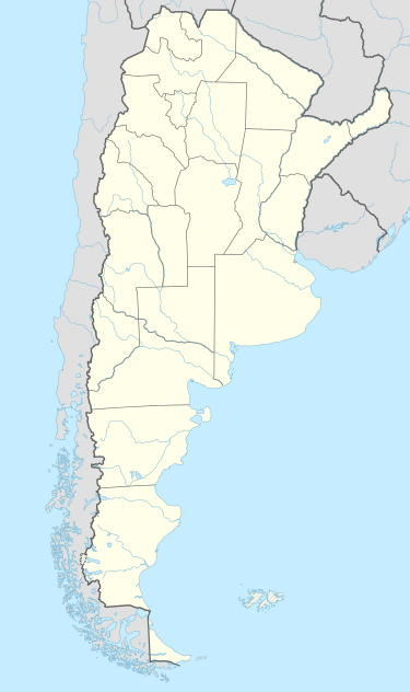 OVR Location in Argentina | |||||||||||||||
| Runways | |||||||||||||||
| |||||||||||||||
|
Sources: World Aero Data[1] | |||||||||||||||
Olavarría Airport (IATA: OVR[2], ICAO: SAZF) is an airport serving Olavarría, Buenos Aires, Argentina.
See also
 Argentina portal
 Aviation portal
- List of airports in Argentina
References
- ↑ Airport information for Olavarría Airport at World Aero Data. Data current as of October 2006.
- ↑ "Airline and Airport Code Search". IATA. Retrieved 4 April 2012.
External links
- Airport information for Olavarría Airport at Great Circle Mapper. Source: DAFIF (effective October 2006).
This article is issued from Wikipedia - version of the 12/4/2016. The text is available under the Creative Commons Attribution/Share Alike but additional terms may apply for the media files.