Okahao
| Okahao | |
|---|---|
 Okahao | |
| Coordinates: NA 17°53′S 15°6′E / 17.883°S 15.100°ECoordinates: NA 17°53′S 15°6′E / 17.883°S 15.100°E | |
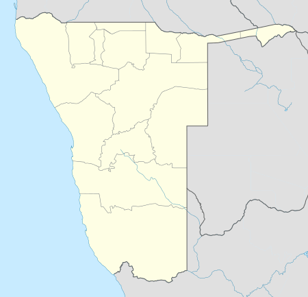
| Country |
|
| Region | Omusati Region |
| Constituency | Okahao Constituency |
| Population (2011)[1] | |
| • Total | 1,665 |
| Time zone | SAST (UTC+1) |
| Climate | BSh |
Okahao is a town in the Omusati Region of northern Namibia and the district capital of the Okahao electoral constituency. It is situated in the Ongandjera tribal area 73 kilometres (45 mi) west of Oshakati on the main road MR123 (Outapi - Tsandi - Okahao).
The area around Okahao is flat, arable land which is mainly used for subsistence farming. Okahao is the largest town in Ongandjera, the birthplace of Namibia's founding president Sam Nujoma.
Infrastructure
Okahao has an east/west, unpaved, undeveloped airstrip of 1,020 metres (3,346 ft) length[2] (ICAO code: FYOH,[3] IATA code: none), a clinic, and two hospitals.
Okahao has one combined school (Nangombe Combined School), one primary school (Okahao Primary School), and one private school. There is also the Okahao community library, a Police station and a prison. Several ministries have representation in the town. The Ongozi Lodge caters for tourists.
As of November 2009, the mayor of Okahao was David Uuzombala Isai.[4]
Politics
Okahao is governed by a town council that currently has seven seats.[5]
In the run up to the 2009 general election, campaigners for the Rally for Democracy and Progress were driven out of the town by school children.[6]
External links
References
- ↑ "Table 4.2.2 Urban population by Census years (2001 and 2011)" (PDF). Namibia 2011 - Population and Housing Census Main Report. Namibia Statistics Agency. p. 39. Retrieved 24 August 2016.
- ↑ Okahao Airstrip
- ↑ ICAO entry for Okahao Airport
- ↑ Political office bearers Okahao Town Council
- ↑ "Know Your Local Authority". Election Watch (3). Institute for Public Policy Research. 2015. p. 4.
- ↑ Children drive RDP out of Okahao, says NSHR The Namibian 6 November 2009