Ohio State Route 710
| ||||
|---|---|---|---|---|
 | ||||
| Route information | ||||
| Maintained by ODOT | ||||
| Length: | 4.06 mi[1] (6.53 km) | |||
| Existed: | 1969[2][3] – present | |||
| Major junctions | ||||
| West end: |
| |||
| East end: |
| |||
| Location | ||||
| Counties: | Franklin | |||
| Highway system | ||||
| ||||

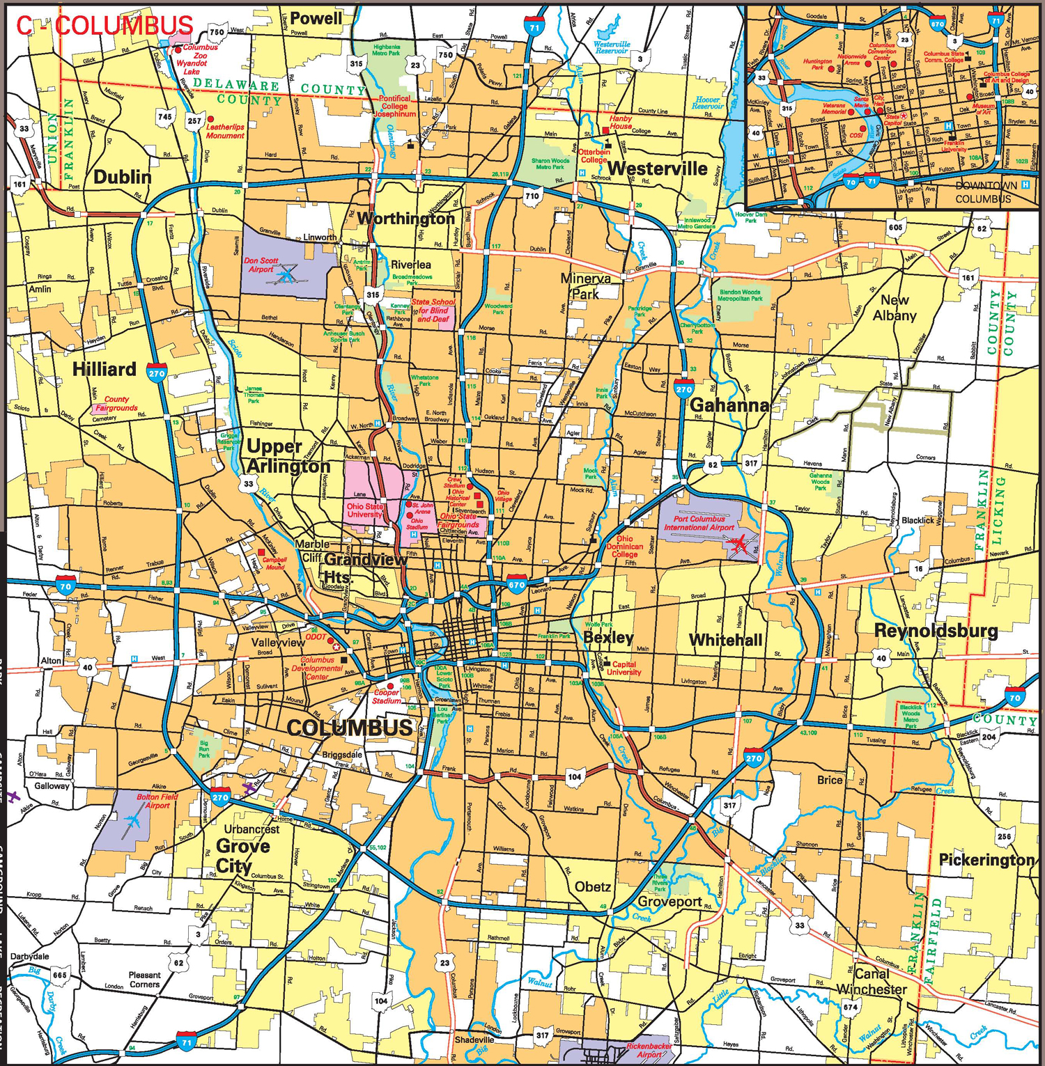
State Route 710 (SR 710) is a 4.06-mile-long (6.53 km) state highway in the central portion of the U.S. state of Ohio. Existing entirely within the northern portion of the city of Columbus, SR 710 begins at an intersection with SR 161, less than one-quarter mile (0.40 km) west of exit 117 off Interstate 71 (I-71). The highway ends at a seven-ramp partial cloverleaf interchange with I-270 at its exit 27.
SR 710 was established in 1969. Although signed as an east–west route, the overall path of this route is that of an irregularly shaped inverted "U", with its westernmost and easternmost portions following north–south roadways.
Route description
| County Log Point | Volume | ||||
|---|---|---|---|---|---|
| 0.114 | 19,270 | ||||
| 0.92 | 8,050 | ||||
| 1.37 | 15,590 | ||||
| 3.4 | 23,240 | ||||
| 3.557 | 47,300 | ||||
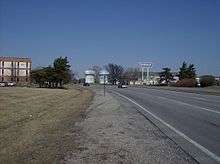
The entire length of SR 710 lies within the northern portion of Franklin County, and entirely within the city limits of Columbus. SR 710 starts at SR 161. The first part of SR 710 is located in Busch Boulevard, a north–south road.[5][6] SR 710's western terminus is located in Busch, a business area.[7] Later, Busch Boulevard ends and SR 710 turns east to Schrock Road[5][6] and later makes a turn south to Cleveland Avenue, another north–south road.[5][6] Here, SR 710 makes up the border of Northgate, a residential area.[8] The route ends at a seven-ramp partial cloverleaf interchange with I-270 that features loop ramps in all but the northwestern quadrant.[5][6] SR 710 is not included as a part of the National Highway System.[9]
History
The SR 710 designation was applied in 1969. Since its inception, it has utilized the same alignment between SR 161 and I-270 in the northern portion of Columbus.[2][3][6] Currently, safety, capacity, and aesthetic improvements are being designed for Cleveland Avenue and Schrock Road.[10][11]
Major intersections
The entire route is in Columbus, Franklin County.
| mi[1] | km | Destinations | Notes | ||
|---|---|---|---|---|---|
| 0.00 | 0.00 | ||||
| 3.59– 4.06 | 5.78– 6.53 | Exit 27 on I-270 | |||
| 1.000 mi = 1.609 km; 1.000 km = 0.621 mi | |||||
See also
 U.S. Roads portal
 Ohio portal
References
- 1 2 "DESTAPE - Franklin County" (PDF). Ohio Department of Transportation. June 24, 2015. Retrieved November 11, 2015.
- 1 2 Official Ohio Highway Map (MrSID) (Map). Cartography by ODOH. Ohio Department of Highways. 1967. Retrieved 2011-05-29.
- 1 2 Official Ohio Highway Map (MrSID) (Map). Cartography by ODOH. Ohio Department of Highways. 1969. Retrieved 2011-05-29.
- ↑ Staff. "Transportation Information Mapping System". Ohio Department of Transportation. Retrieved 2013-08-13.
- 1 2 3 4 Ohio Department of Transportation. "Technical Services Straight Line Diagrams: SR 710, Franklin County" (PDF). Retrieved June 2, 2013.
- 1 2 3 4 5 Official Transportation Map (Map). Cartography by Office of Technical Services, GIS Mapping Section. Ohio Department of Transportation. July 2011. Columbus inset. Retrieved June 11, 2013.
- ↑ Google (June 9, 2013). "Busch, Columbus, Ohio" (Map). Google Maps. Google. Retrieved June 9, 2013.
- ↑ Google (June 9, 2013). "Northgate, Columbus, Ohio" (Map). Google Maps. Google. Retrieved June 9, 2013.
- ↑ National Highway System: Ohio (PDF) (Map). Federal Highway Administration. December 2003. Retrieved 2011-05-29.
- ↑ City of Westerville. "Cleveland Ave/Schrock Rd Improvements". Retrieved June 10, 2013.
- ↑ City of Westerville. "Gateway Improvements". Retrieved June 10, 2013.
External links
 Media related to Ohio State Route 710 at Wikimedia Commons