Ocampo Municipality, Coahuila
| Ocampo | |
|---|---|
| Municipality | |
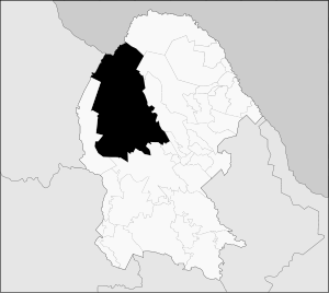 Municipality of Ocampo in Coahuila | |
|
Ocampo Location in Mexico | |
| Coordinates: 27°18′50″N 102°23′50″W / 27.31389°N 102.39722°WCoordinates: 27°18′50″N 102°23′50″W / 27.31389°N 102.39722°W | |
| Country |
|
| State | Coahuila |
| Municipal seat | Ocampo |
| Area | |
| • Total | 26,433 km2 (10,206 sq mi) |
| Population (2010) | |
| • Total | 10,991 |
Ocampo is one of the 38 municipalities of Coahuila, in north-eastern Mexico. The municipal seat lies at Ocampo. The municipality covers an area of 26,433 km² and is located on the international border between Mexico and the USA, here formed by the Río Bravo del Norte (Rio Grande), adjacent to the U.S. state of Texas.
In 2010, the municipality had a total population of 10,991.[1]
Towns and villages
The largest localities (cities, towns, and villages) are:
| Name | 2010 Census Population |
|---|---|
| Ocampo | 3,679 |
| Laguna del Rey (Químicas del Rey) | 2,651 |
| Chula Vista | 1,671 |
| San Miguel | 259 |
| La Rosita | 257 |
| Total Municipality | 10,991 |
Adjacent municipalities and counties
- Acuña Municipality - northeast
- Múzquiz Municipality - northeast
- San Buenaventura Municipality - east
- Nadadores Municipality - southeast
- Lamadrid Municipality - southeast
- Cuatrociénegas Municipality - south
- Sierra Mojada Municipality - west
- Camargo Municipality, Chihuahua - west
- Manuel Benavides Municipality, Chihuahua - northwest
- Brewster County, Texas - north
References
- ↑ 2010 census tables: INEGI accessdate=April 29, 2011

This article is issued from Wikipedia - version of the 4/16/2015. The text is available under the Creative Commons Attribution/Share Alike but additional terms may apply for the media files.