Oba, Anambra
Coordinates: 6°4′0″N 6°50′0″E / 6.06667°N 6.83333°E
| Oba | |
|---|---|
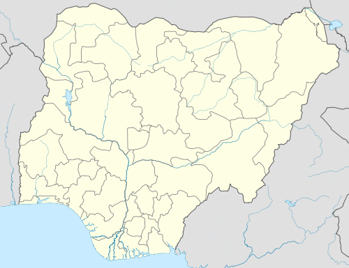 Oba Location in Nigeria | |
| Coordinates: 6°4′N 6°50′E / 6.067°N 6.833°E | |
| Country |
|
| State | Anambra State |
Oba is a town in Nigeria. It was formerly the headquarters of the Idemili-South Local Government Area in Anambra State and lies approximately 7 kilometers south of Onitsha along the old Owerri-Onitsha Trunk A Road.
The present traditional King of Oba town is Igwe Peter C Ezenwa.
Geography
To the north is the Idemili River and the neighboring towns of Nkpor and Umuoji. To the south is the Ekulu River and the towns of Oraifite and Akwu-Ukwu. To the east are the towns of Ojoto and Ichi and to the west is the Ose River and the towns of Obosi and Odekpe.
Attractions
Oba has 9 villages so many sites of attraction which include The Rojenny Games Village, Tansian University, Ogba Spring. Oba Airport (under construction), So many hotels and banks. Due to its strategic location, being sandwiched between the commercial city of Onitsha and the industrial city of Nnewi both cities are less than 5 minutes drive from Oba. An international market (Anambra International Trade Centre) is currently under construction in Oba, the market when completed would consist of 25,000 lock-up stores with modern amenities like fire service, schools, police posts, 24/7 power supply amongst others and will also pride itself as the largest market in West Africa. Oba has turned into a modern urban town with a population of over 300,000 inhabitants. Oba is part of the Greater Onitsha City as designated by the United Nations.
The Biafran Republic army settled in Oba as their last frontier following the fall of Onitsha. Oba was never in the hands of the Nigerian Army until the end of the war.